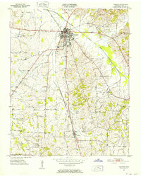
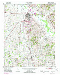
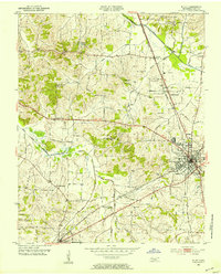
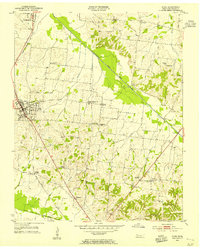
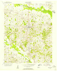
1951 Map of Trenton
USGS Topo · Published 1952About this map
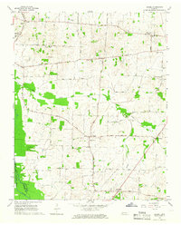
The county seat of Trenton serves as the central hub of this West Tennessee landscape, where the Gulf Mobile and Ohio railroad corridor intersects the local drainage of the North Fork Deer River. The 1951 survey reveals a rural settlement pattern defined by small schools and numerous country churches, many with adjacent burying grounds that remain vital for genealogical research. Notable sites like the County Farm and Fruitland indicate a landscape deeply tied to regional agriculture and civic infrastructure.
Find a feature on this map
33 named features on this map. Tap any name to fly to it.
Don’t see what you’re looking for? This feature index may not catch every label — zoom into the map to look around manually.
Map Details
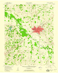
Editions of this 1951 Trenton Map
2 editions found
Other maps of this area
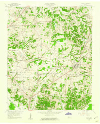
1952 · Milan
USGS Topo · 1:24,000
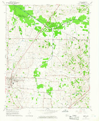
1953 · Dyer
USGS Topo · 1:24,000
1954 · Bradford
USGS Topo · 1:24,000

1956 · Dyersburg
USGS Topo · 1:250,000

1956 · Blytheville
USGS Topo · 1:250,000
1959 · Medina
USGS Topo · 1:24,000

1959 · Blytheville
USGS Topo · 1:250,000
1959 · Humboldt
USGS Topo · 1:24,000
1964 · Alamo
USGS Topo · 1:24,000
1964 · Brazil
USGS Topo · 1:24,000