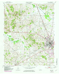
1952 Map of Milan
USGS Topo · Published 1982About this map
The railroad hub of Milan anchors this mid-century survey, positioned at the convergence of the Gulf Mobile and Ohio, Illinois Central, and Louisville and Nashville railroads. This network of tracks and depots shaped the growth of Gibson County, connecting small agrarian communities like Cades and New Enterprise to broader markets. The landscape is characterized by the drainage basins of the Rutherford Fork Obion River and the North Fork Forked Deer River, with the Durley Hills rising to the west.
Find a feature on this map
54 named features on this map. Tap any name to fly to it.
Don’t see what you’re looking for? This feature index may not catch every label — zoom into the map to look around manually.
Map Details
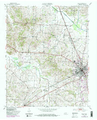
Editions of this 1952 Milan Map
3 editions found
Other maps of this area

1951 · Trenton
USGS Topo · 1:24,000

1952 · Milan
USGS Topo · 1:24,000

1953 · Dyer
USGS Topo · 1:24,000

1954 · Bradford
USGS Topo · 1:24,000

1956 · Dyersburg
USGS Topo · 1:250,000

1956 · Blytheville
USGS Topo · 1:250,000

1959 · Medina
USGS Topo · 1:24,000

1959 · Blytheville
USGS Topo · 1:250,000

1959 · Humboldt
USGS Topo · 1:24,000

1966 · Spring Creek
USGS Topo · 1:24,000