Loading...
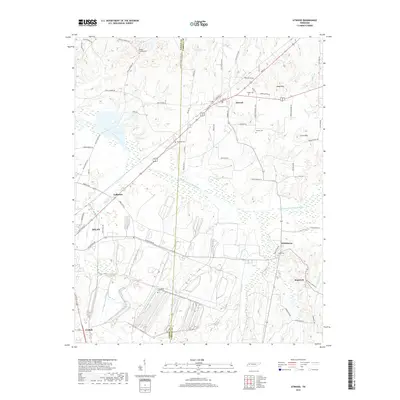
Loading map...1966 Map of Atwood
USGS Topo · Published 1983About this map
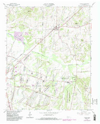
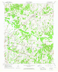
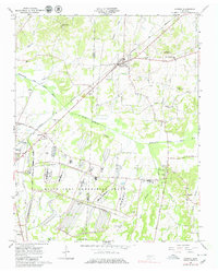
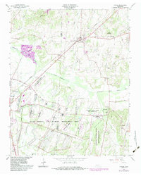
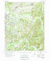
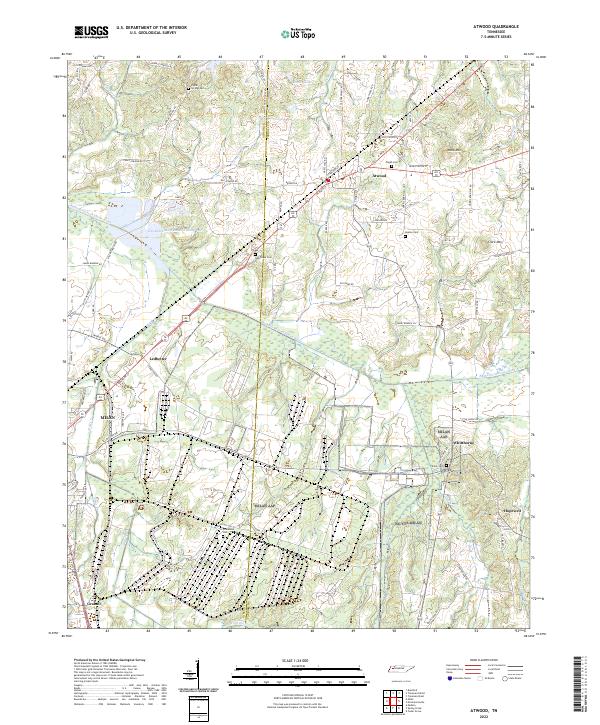
The Gibson and Carroll County line divides this mid-century landscape, dominated by the massive footprint of the Milan Arsenal and Wildlife Management Area. This military and government presence is further evidenced by the Tennessee National Guard Milan Reservation and the sprawling University of Tennessee Milan Agricultural Experimental Station. The town of Atwood sits as a central hub at the intersection of several thoroughfares and the Seaboard System Railroad, which cuts a diagonal path through the terrain.
Find a feature on this map
43 named features on this map. Tap any name to fly to it.
Don’t see what you’re looking for? This feature index may not catch every label — zoom into the map to look around manually.
Map Details
Date Portrayed1966
Date Published1983
PublisherU.S. Geological Survey
Map TypeTopographic
Scale1:24,000
Physical Dimensions22 x 27.5 inches
Editions of this 1966 Atwood Map
4 editions found
Historical Maps of Atwood Through Time
7 maps found
Featured Locations
Source Details
SourceU.S. Geological Survey
CopyrightPublic Domain