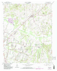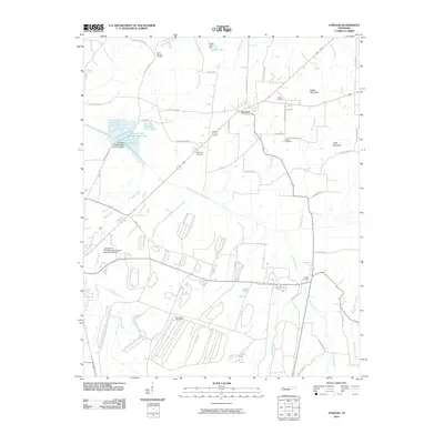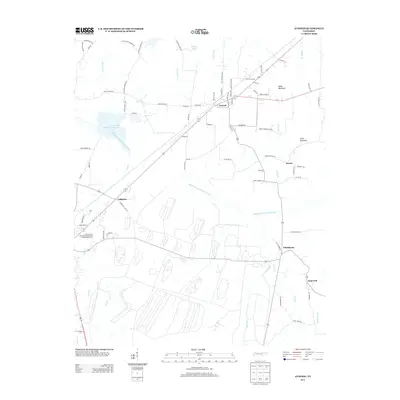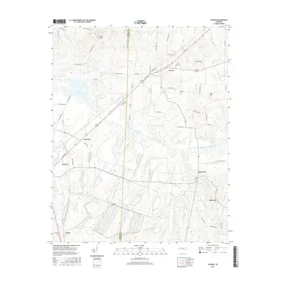
1977 Map of Atwood
USGS Topo · Published 1977About this map
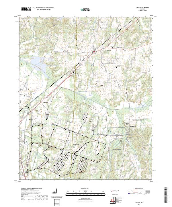
Milan Military Reservation and the adjacent Milan Army Ammunition Plant dominate the western landscape of this mid-1970s survey, illustrating the significant federal footprint in the region. The map captures a transitional rural environment where agriculture and traditional settlements like Atwood and McLemoresville exist alongside these major industrial and military installations. The Louisville and Nashville Railroad cuts through the northern sector, linking small communities and supporting the area's logistical network.
Find a feature on this map
71 named features on this map. Tap any name to fly to it.
Don’t see what you’re looking for? This feature index may not catch every label — zoom into the map to look around manually.
Map Details
Editions of this 1977 Atwood Map
This is the sole edition of this map. No revisions or reprints were ever made.
Historical Maps of Atwood Through Time
7 maps found