
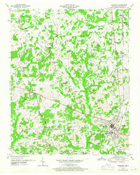
1950 Map of Lexington
USGS Topo · Published 1953About this map
Lexington serves as the regional hub in this 1950s survey, situated where the Nashville Chattanooga and St Louis RR meets the historic Natchez Trace. The landscape is defined by the Tennessee Valley Divide, which separates the headwaters of the Middle Fork Forked Deer River from the Beech River Drainage Canal system. This era reveals a transition in land use, as seen in the presence of the Franklin Wilkins Airfield and the sprawling Natchez Trace State Park and Forest in the northeast.
Find a feature on this map
47 named features on this map. Tap any name to fly to it.
Don’t see what you’re looking for? This feature index may not catch every label — zoom into the map to look around manually.
Map Details
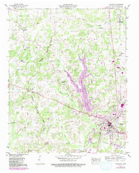
Editions of this 1950 Lexington Map
3 editions found
Other maps of this area

1936 · Clarksburg
USGS Topo · 1:24,000

1936 · Lexington
USGS Topo · 1:24,000

1936 · Yuma
USGS Topo · 1:24,000

1936 · Reagan
USGS Topo · 1:24,000

1936 · Life
USGS Topo · 1:24,000

1936 · Chesterfield
USGS Topo · 1:24,000

1950 · Reagan
USGS Topo · 1:24,000

1950 · Life
USGS Topo · 1:24,000

1950 · Yuma
USGS Topo · 1:24,000
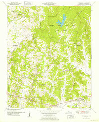
1950 · Chesterfield
USGS Topo · 1:24,000