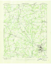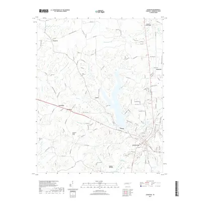
1950 Map of Lexington
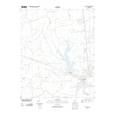
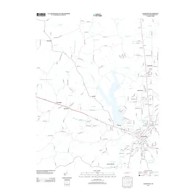
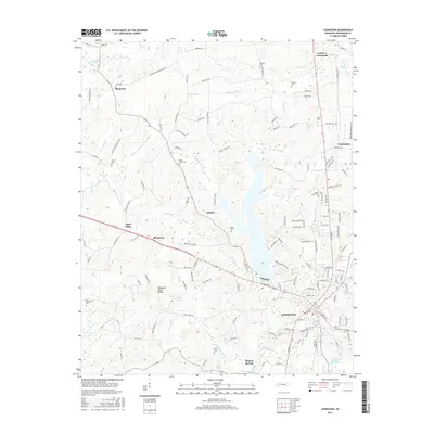
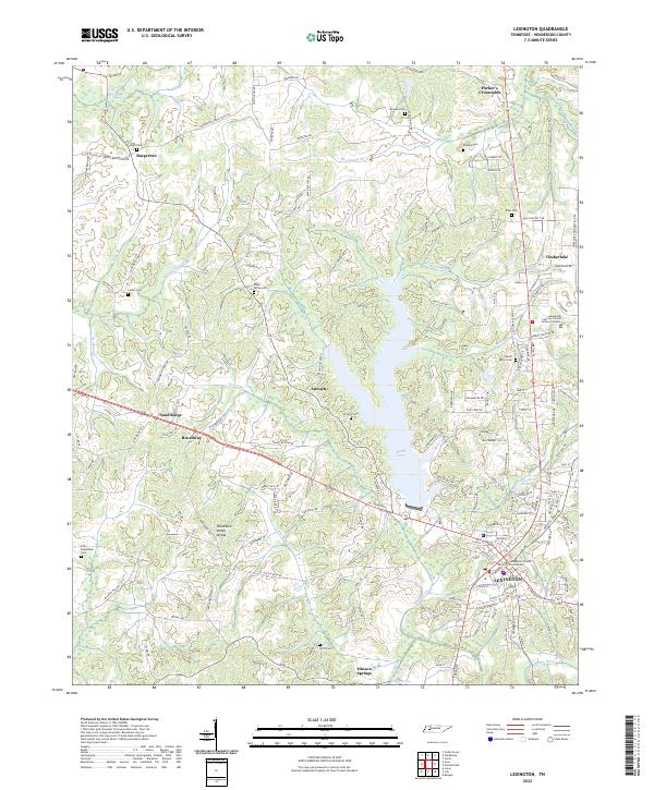
USGS Topo · Published 1967About this map
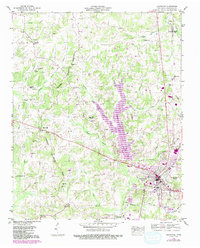
The Tennessee Valley Divide snakes through this Henderson County landscape, separating the headwaters of the Middle Fork Forked Deer River from the tributaries of the Tennessee River. At the heart of the region, the city of Lexington serves as a transportation hub, where the Nashville Chattanooga and St Louis RR intersects with local routes near the Franklin-Wilkins Airfield. The map reveals an engineered aquatic landscape, notably the Beech River Canal and the Big Sandy Drainage Canal River, reflecting mid-century efforts to manage the wetlands and river bottoms for local agriculture.
Find a feature on this map
46 named features on this map. Tap any name to fly to it.
Don’t see what you’re looking for? This feature index may not catch every label — zoom into the map to look around manually.
Map Details
Editions of this 1950 Lexington Map
3 editions found
Historical Maps of Lexington Through Time
7 maps found