
1953 Map of Claybrook
USGS Topo · Published 1955About this map
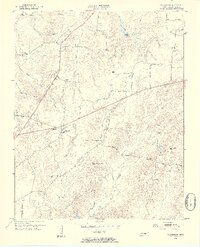
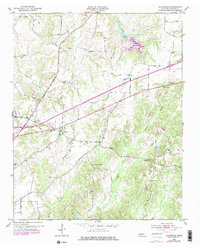
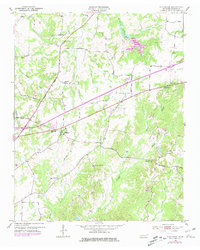
The Gulf Mobile and Ohio railroad cuts a diagonal path through the northwest corner of this Madison County landscape, bridging a network of rural creek valleys during the early 1950s. The settlement at Claybrook serves as a small hub in the northeast, while the rest of the terrain is defined by a dense distribution of local institutions that suggest a deeply rooted rural community. Numerous small churches and schools, such as Union Hill Ch, Cotton Grove Ch, and Tri-Community Sch, are situated along winding roads like Hartmas Lane and Bedford White Road. Topographical details reveal the many branches of Spring Creek, Gilmers Creek, and Cotton Grove Creek as they weave through the hills. This survey offers a precise record of local genealogy and land use before mid-century modernization altered the local infrastructure, preserving the locations of family-named landmarks and a dedicated Lookout Tower on the high ground overlooking Bear Creek.
Find a feature on this map
33 named features on this map. Tap any name to fly to it.
Don’t see what you’re looking for? This feature index may not catch every label — zoom into the map to look around manually.
Map Details
Editions of this 1953 Claybrook Map
4 editions found
Other maps of this area

1950 · Jackson South
USGS Topo · 1:24,000

1950 · Jackson North
USGS Topo · 1:24,000

1951 · Jackson North
USGS Topo · 1:24,000

1953 · Beech Bluff
USGS Topo · 1:24,000

1955 · Luray
USGS Topo · 1:24,000

1955 · Juno
USGS Topo · 1:24,000

1956 · Blytheville
USGS Topo · 1:250,000

1959 · Medina
USGS Topo · 1:24,000

1959 · Blytheville
USGS Topo · 1:250,000

1966 · Spring Creek
USGS Topo · 1:24,000