Loading...
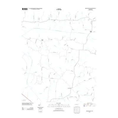
Loading map...1953 Map of Beech Bluff
USGS Topo · Published 1955About this map
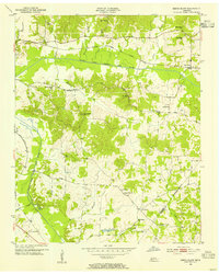
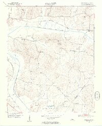
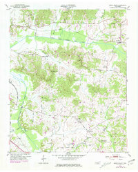
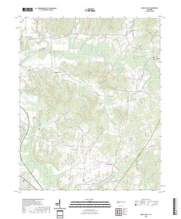
The Nashville Chattanooga and St Louis railroad cuts through the heart of this West Tennessee landscape, paralleling the course of the North Fork Forked Deer River. This 1953 field-checked survey shows a rural environment deeply rooted in its local institutions, with the settlement of Beech Bluff serving as a primary hub. The map reveals an intricate network of small country schools and churches that defined mid-century life, including Hurts Sch, Moore Sch, and Isaac Chapel.
Find a feature on this map
36 named features on this map. Tap any name to fly to it.
Don’t see what you’re looking for? This feature index may not catch every label — zoom into the map to look around manually.
Map Details
Date Portrayed1953
Date Published1955
PublisherU.S. Geological Survey
Map TypeTopographic
Scale1:24,000
Physical Dimensions22 x 27.5 inches
Editions of this 1953 Beech Bluff Map
3 editions found
Historical Maps of Maple Grove Through Time
6 maps found
Featured Locations
Source Details
SourceU.S. Geological Survey
CopyrightPublic Domain