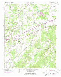
1953 Map of Claybrook
USGS Topo · Published 1981About this map
The Broadway Of America cuts a prominent diagonal across this Madison County landscape, reflecting the post-war transition of rural Tennessee. The area is defined by a dense network of community anchors, notably a high concentration of country churches and local schools. Settlements like Claybrook serve as focal points for the surrounding agricultural tracts, where the terrain is drained by numerous winding waterways including Cotton Grove Creek, Trace Creek, and Spring Creek.
Find a feature on this map
34 named features on this map. Tap any name to fly to it.
Don’t see what you’re looking for? This feature index may not catch every label — zoom into the map to look around manually.
Map Details
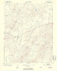
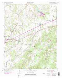
Editions of this 1953 Claybrook Map
4 editions found
Other maps of this area

1950 · Jackson South
USGS Topo · 1:24,000

1950 · Jackson North
USGS Topo · 1:24,000

1951 · Jackson North
USGS Topo · 1:24,000

1953 · Claybrook
USGS Topo · 1:24,000

1953 · Beech Bluff
USGS Topo · 1:24,000

1955 · Luray
USGS Topo · 1:24,000

1955 · Juno
USGS Topo · 1:24,000

1956 · Blytheville
USGS Topo · 1:250,000

1959 · Medina
USGS Topo · 1:24,000

1959 · Blytheville
USGS Topo · 1:250,000