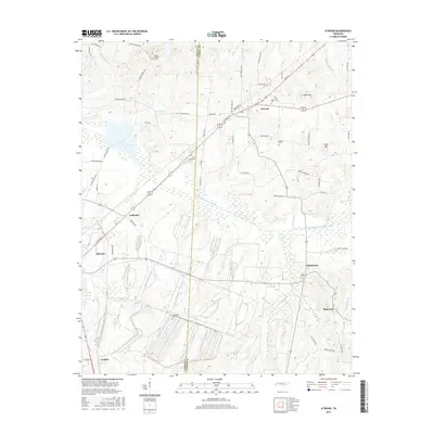
2016 Map of Atwood
USGS Topo · Published 2016About this map
The Rutherford Fork Obion River meanders across this West Tennessee landscape, marking the transition between Gibson and Carroll counties. Centered on the town of Atwood, the survey shows a network of rural communities including Whitthorne, Hopewell, and Ledbetter. Significant genealogical value is found in the scattered burial grounds such as Pisgah Cem, Shiloh Cem, and Keaton Cem, which are often located near historical road junctions like Old Atwood Rd and Flippen School House Rd. The terrain is characterized by modest elevations like Webb Mtn and Clark Mtn, while the drainage system is defined by numerous local branches such as Sandy Br and Steep Bank Br. The industrial edge of Milan appears in the southwest, contrasting with the agricultural character of the surrounding countryside.
Find a feature on this map
70 named features on this map. Tap any name to fly to it.
Don’t see what you’re looking for? This feature index may not catch every label — zoom into the map to look around manually.
Map Details
Editions of this 2016 Atwood Map
This is the sole edition of this map. No revisions or reprints were ever made.
Other maps of this area

1952 · Milan
USGS Topo · 1:24,000

1954 · Bradford
USGS Topo · 1:24,000

1956 · Dyersburg
USGS Topo · 1:250,000

1956 · Blytheville
USGS Topo · 1:250,000

1959 · Medina
USGS Topo · 1:24,000

1959 · Blytheville
USGS Topo · 1:250,000

1966 · Spring Creek
USGS Topo · 1:24,000

1966 · Mc Lemoresville
USGS Topo · 1:24,000

1966 · Atwood
USGS Topo · 1:24,000

1966 · Trezevant West
USGS Topo · 1:24,000