Old Maps of Milan, Tennessee
Explore 28 old maps of Milan, spanning from 1952 to today. These high-resolution historic maps reveal how streets, neighborhoods, landmarks, and natural features evolved over time — perfect for genealogy, metal detecting, research, and local history exploration.
What you can do with these maps:
- See how Milan changed over time: Compare historical maps to modern-day views to trace roads, homesites, rail lines & more.
- View detailed metadata: Each map includes creators, publishers, year, scale, and archive source.
- Overlay maps with satellite & LiDAR: Visualize the past alongside modern tools to explore terrain & human change.
- Trusted historical sources: Maps sourced from the USGS, Library of Congress, and other archives.
- Access maps your way: View online, download high-res files, or order prints for personal or research use.
Start exploring old maps of Milan to uncover forgotten places, hidden landmarks, and the deep history beneath your feet.
Milan, TN maps
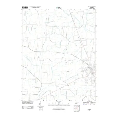
(28)- 1952 Map of Milan, 1953 Print
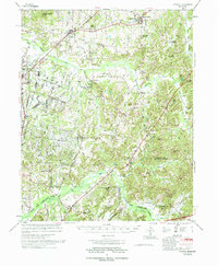
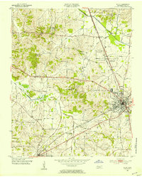 1952 Milan1953 Print · USGSMid-century Gibson County centers on the thriving rail junction at Milan and its surrounding farmsteads. Genealogists can trace the rural communities of Cades and Concord, locating old family-named landmarks like Martin Cem and the County Training Sch.3 unique versions available
 - 1956 Map of Blytheville, 1964 Print
 1956 Blytheville1964 Print · USGSWest Tennessee and the Arkansas Delta come alive in this mid-century survey of the river-and-rail corridor connecting Memphis to Jackson. Genealogists and historians can trace the rail lines of the Louisville and Nashville RR and locate landmarks like Western State Hospital or Fort Pillow State Prison Farm.2 unique versions available
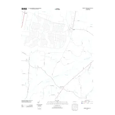
 - 1959 Map of Medina
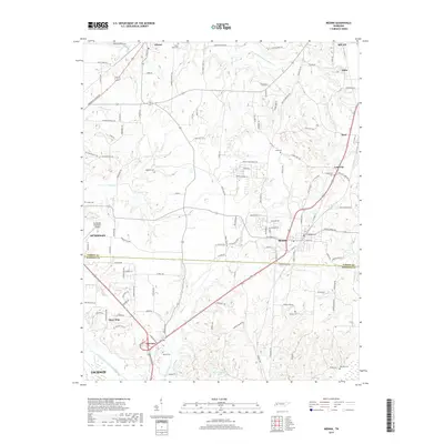
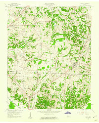 1959 Medina1959 Print · USGSWest Tennessee’s rail-and-river landscape comes alive in the late fifties as three major railroads cross the Gibson and Madison county lines. Researchers can trace the vanished footprints of Fly Sch, explore the community around Bakers Chapel, and locate family plots at White Rose Cem.4 unique versions available
 - 1959 Map of Blytheville
 1959 Blytheville1959 Print · USGSWest Tennessee and Northeast Arkansas meet along the river in the late fifties, during a period of steady industrial and agricultural growth. Genealogists can trace the rail corridors of the Illinois Central through Jackson or explore landmarks like Shiloh National Military Park and Fort Pillow State Prison.
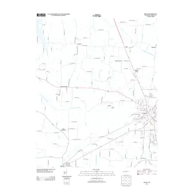
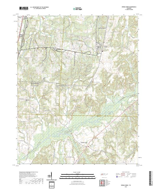
 - 1966 Map of Spring Creek, 1967 Print
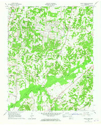 1966 Spring Creek1967 Print · USGSWestern Tennessee at the height of the Cold War is captured here, showing the intersection of rural agriculture and military industry. Trace the massive footprint of the Milan Army Ammunition Plant alongside local landmarks like Latham Chapel and the Illinois Central RR.3 unique versions available
 - 1966 Map of Atwood, 1967 Print
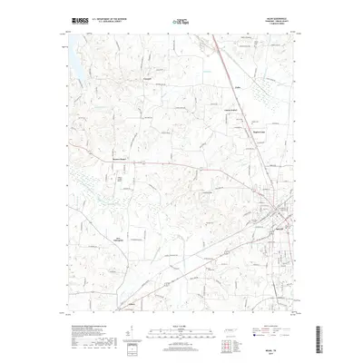
 1966 Atwood1967 Print · USGSWest Tennessee’s industrial and rural landscape is captured here in the mid-sixties, centered on the town of Atwood and the Gibson-Carroll county line. Genealogists and historians can trace the extensive Milan Army Ammunition Plant, the MTA Jr High Sch, and family burial sites like Keaton Cem.4 unique versions available
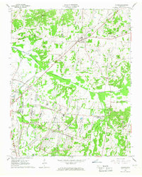
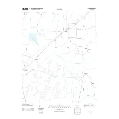
 - 1977 Map of Atwood
 1977 Atwood1977 Print · USGSCarroll County and its neighbors are captured in the late seventies, showing a landscape defined by small-town life and military industry. Researchers can trace local roots through numerous country landmarks like Latham Chapel, Atwood, and the Full Gospel Mission.
 - 1986 Map of Milan
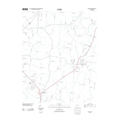
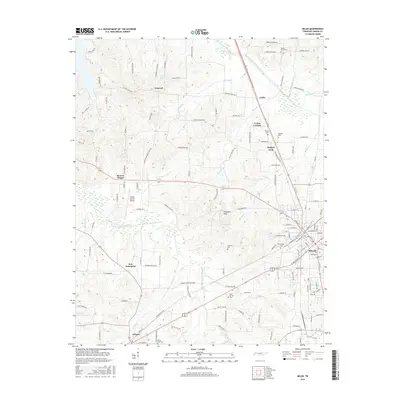
 1986 Milan1986 Print · USGSWest Tennessee in the mid-eighties shows a landscape defined by industrial military sites and expansive state forests. Trace the rail lines of the Seaboard System RR, locate the Milan Arsenal, or explore the protected lands of Natchez Trace State Forest.2 unique versions available
 - 2010 Map of Atwood, 2010 Print
 2010 Atwood2010 Print · USGSCovers Milan, including Atwood, Hopewell, and other nearby areas
 - 2010 Map of Spring Creek, 2010 Print
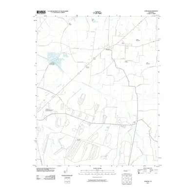
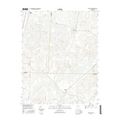
 2010 Spring Creek2010 Print · USGSCovers Milan, including Spring Creek, Lavinia, and other nearby areas
 - 2010 Map of Medina, 2010 Print
 2010 Medina2010 Print · USGSCovers Milan, including Jackson, Humboldt, and other nearby areas
 - 2010 Map of Milan, 2010 Print
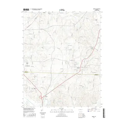
 2010 Milan2010 Print · USGSCovers Milan, including Gibson, Concord, and other nearby areas
 - 2013 Map of Spring Creek, 2013 Print
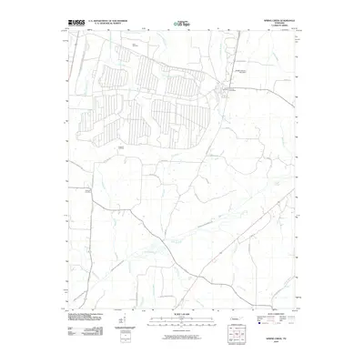
 2013 Spring Creek2013 Print · USGSCovers Milan, including Spring Creek, Lavinia, and other nearby areas
 - 2013 Map of Milan, 2013 Print
 2013 Milan2013 Print · USGSCovers Milan, including Gibson, Concord, and other nearby areas
 - 2013 Map of Atwood, 2013 Print
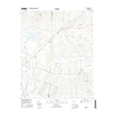
 2013 Atwood2013 Print · USGSCovers Milan, including Atwood, Hopewell, and other nearby areas
 - 2013 Map of Medina, 2013 Print
 2013 Medina2013 Print · USGSCovers Milan, including Jackson, Humboldt, and other nearby areas
 - 2016 Map of Spring Creek, 2016 Print
 2016 Spring Creek2016 Print · USGSCovers Milan, including Spring Creek, Lavinia, and other nearby areas
 - 2016 Map of Medina, 2016 Print
 2016 Medina2016 Print · USGSCovers Milan, including Jackson, Humboldt, and other nearby areas
 - 2016 Map of Atwood, 2016 Print
 2016 Atwood2016 Print · USGSCovers Milan, including Atwood, Hopewell, and other nearby areas
 - 2016 Map of Milan, 2016 Print
 2016 Milan2016 Print · USGSCovers Milan, including Gibson, Concord, and other nearby areas
 - 2019 Map of Medina, 2019 Print
 2019 Medina2019 Print · USGSCovers Milan, including Jackson, Humboldt, and other nearby areas
 - 2019 Map of Milan, 2019 Print
 2019 Milan2019 Print · USGSCovers Milan, including Gibson, Concord, and other nearby areas
 - 2019 Map of Atwood, 2019 Print
 2019 Atwood2019 Print · USGSCovers Milan, including Atwood, Hopewell, and other nearby areas
 - 2019 Map of Spring Creek, 2019 Print
 2019 Spring Creek2019 Print · USGSCovers Milan, including Spring Creek, Lavinia, and other nearby areas
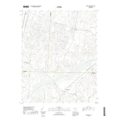
 - 2022 Map of Spring Creek, 2022 Print
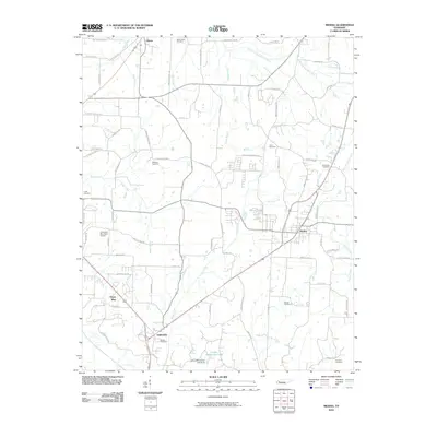
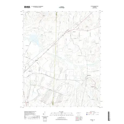
 2022 Spring Creek2022 Print · USGSThe West Tennessee countryside at the meeting of Gibson, Carroll, and Madison Counties is shown here in the 2020s. Genealogists can trace family landmarks like Elam Cem and rural hubs such as Graball and Lavinia.
Showing maps 1-25 of 28
Top cities near Milan
- Jackson historical maps
- Humboldt historical maps
- McKenzie historical maps
- Trenton historical maps
- Dyer historical maps
- Medina historical maps
See more
Top neighborhoods of Milan
Frequently asked questions
- What are the different types of historical maps available for Milan?
- What is the oldest map of Milan?
- Where can I purchase historical maps of Milan for my home or office?
- Where can I download high-res historical maps of Milan?
- Are there historical topographic maps available for Milan?
- Is there historical aerial imagery available for Milan?
- Where are historical maps of Milan sourced from?