Old Maps of Milan, Tennessee for Hiking & Exploration
Hike through history with 28 historic maps of Milan. Explore old trails, ghost towns, and forgotten backroads — perfect for outdoor adventurers and local explorers.
- Rediscover forgotten places: Map out old mining camps, roads, and footpaths that no longer exist on modern maps.
- Layer with modern tools: Combine with LiDAR or satellite views to plan hikes through historical terrain.
- Made for exploration: Popular among hikers, overlanders, and local history lovers.
Use these maps to find adventure and explore the hidden past of Milan.
Milan, TN maps
(28)- 1952 Map of Milan, 1953 Print
 1952 Milan1953 Print · USGSMid-century Gibson County centers on the thriving rail junction at Milan and its surrounding farmsteads. Genealogists can trace the rural communities of Cades and Concord, locating old family-named landmarks like Martin Cem and the County Training Sch.3 unique versions available
 - 1956 Map of Blytheville, 1964 Print
 1956 Blytheville1964 Print · USGSWest Tennessee and the Arkansas Delta come alive in this mid-century survey of the river-and-rail corridor connecting Memphis to Jackson. Genealogists and historians can trace the rail lines of the Louisville and Nashville RR and locate landmarks like Western State Hospital or Fort Pillow State Prison Farm.2 unique versions available
 - 1959 Map of Medina
 1959 Medina1959 Print · USGSWest Tennessee’s rail-and-river landscape comes alive in the late fifties as three major railroads cross the Gibson and Madison county lines. Researchers can trace the vanished footprints of Fly Sch, explore the community around Bakers Chapel, and locate family plots at White Rose Cem.4 unique versions available
 - 1959 Map of Blytheville
 1959 Blytheville1959 Print · USGSWest Tennessee and Northeast Arkansas meet along the river in the late fifties, during a period of steady industrial and agricultural growth. Genealogists can trace the rail corridors of the Illinois Central through Jackson or explore landmarks like Shiloh National Military Park and Fort Pillow State Prison.
 - 1966 Map of Spring Creek, 1967 Print
 1966 Spring Creek1967 Print · USGSWestern Tennessee at the height of the Cold War is captured here, showing the intersection of rural agriculture and military industry. Trace the massive footprint of the Milan Army Ammunition Plant alongside local landmarks like Latham Chapel and the Illinois Central RR.3 unique versions available
 - 1966 Map of Atwood, 1967 Print
 1966 Atwood1967 Print · USGSWest Tennessee’s industrial and rural landscape is captured here in the mid-sixties, centered on the town of Atwood and the Gibson-Carroll county line. Genealogists and historians can trace the extensive Milan Army Ammunition Plant, the MTA Jr High Sch, and family burial sites like Keaton Cem.4 unique versions available
 - 1977 Map of Atwood
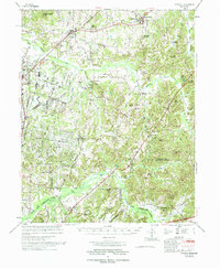 1977 Atwood1977 Print · USGSCarroll County and its neighbors are captured in the late seventies, showing a landscape defined by small-town life and military industry. Researchers can trace local roots through numerous country landmarks like Latham Chapel, Atwood, and the Full Gospel Mission.
 - 1986 Map of Milan
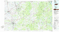 1986 Milan1986 Print · USGSWest Tennessee in the mid-eighties shows a landscape defined by industrial military sites and expansive state forests. Trace the rail lines of the Seaboard System RR, locate the Milan Arsenal, or explore the protected lands of Natchez Trace State Forest.2 unique versions available
 - 2010 Map of Atwood, 2010 Print
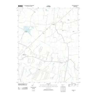 2010 Atwood2010 Print · USGSAtwood and the surrounding Carroll County countryside are captured here in 2010, showing the intersection of rural agriculture and local community life. Researchers can trace family history through many local landmarks, such as Pisgah Cemetery, Keaton Cemetery, and the University of Tennessee Agricultural Experimental Farm.
 - 2010 Map of Spring Creek, 2010 Print
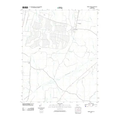 2010 Spring Creek2010 Print · USGSThe rural Tennessee landscape around Spring Creek and Lavinia is captured here in the early twenty-first century. Family researchers can pinpoint exact locations of Elam Cemetery, Hopewell Cemetery, and the Lavinia Post Office near the Middle Fork Forked Deer River.
 - 2010 Map of Medina, 2010 Print
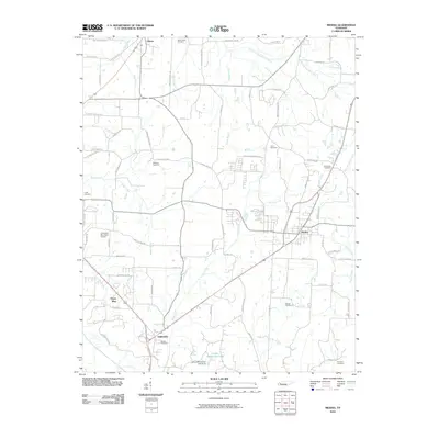 2010 Medina2010 Print · USGSThe West Tennessee countryside around Medina and Gibson is captured here during a period of steady rural development. Genealogists and local historians can trace family roots through numerous sites like White Rose Cemetery and Rush Cemetery near the banks of Turkey Creek.
 - 2010 Map of Milan, 2010 Print
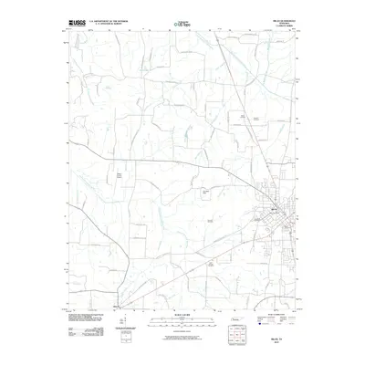 2010 Milan2010 Print · USGSMilan and the surrounding Gibson County countryside are shown here at the start of the decade, capturing the area's mix of municipal growth and rural heritage. Researchers can locate family landmarks like Hughes Cemetery, the Gibson County Airport, and the Milan Post Office.
 - 2013 Map of Spring Creek, 2013 Print
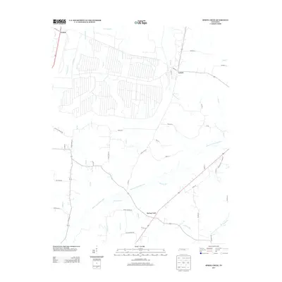 2013 Spring Creek2013 Print · USGSMadison County's agricultural heartland is documented here in the early twenty-first century as the Middle Fork Forked Deer River flows past historic crossroads. Researchers can trace family-named routes and old sites like Latham Chapel Rd, Old Mill Rd, and the community of Graball.
 - 2013 Map of Milan, 2013 Print
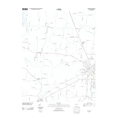 2013 Milan2013 Print · USGSGibson County at the start of the 2010s shows a landscape of established rural communities and evolving infrastructure. Local historians can trace the developments around Milan and Gibson or locate small settlements like Moores Chapel and Union Central.
 - 2013 Map of Atwood, 2013 Print
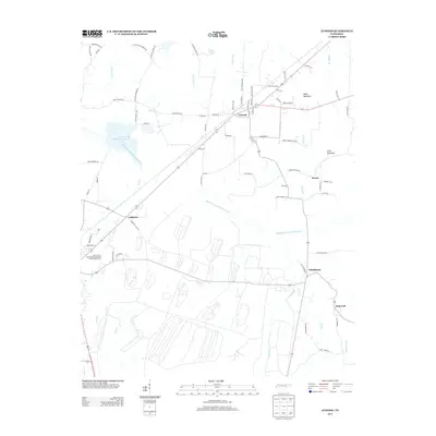 2013 Atwood2013 Print · USGSThis rural portion of Carroll County comes to life in the early twenty-first century, centered on the Atwood community and its surrounding farmland. Genealogists and researchers can trace the local landscape near Ledbetter or the University of Tennessee Agricultural Experimental Farm.
 - 2013 Map of Medina, 2013 Print
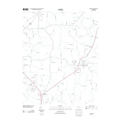 2013 Medina2013 Print · USGSMadison and Gibson counties are seen here in the early twenty-first century as the corridor between Jackson and Milan continued to develop. Researchers can trace local landmarks like Humboldt Municipal Airport or follow the rural reaches of Sitka and Dawson Bottom.
 - 2016 Map of Spring Creek, 2016 Print
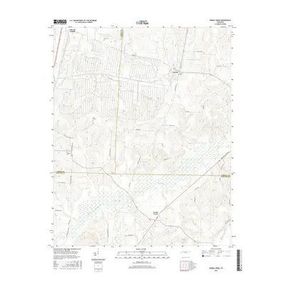 2016 Spring Creek2016 Print · USGSThis Tennessee tri-county border region at Madison, Gibson, and Carroll counties shows a landscape defined by the Middle Fork Forked Deer River. Genealogists can trace family landmarks like Elam Cem and Lavinia Cem or follow the path of the Broadway of America.
 - 2016 Map of Medina, 2016 Print
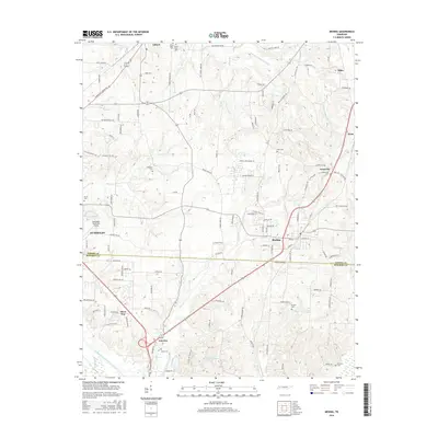 2016 Medina2016 Print · USGSWest Tennessee’s rural landscape transitions between Gibson and Madison counties in this mid-2010s survey. Researchers can trace family history through numerous burial sites like Centerville Cem and Woods Cem or locate the airfield near Humboldt.
 - 2016 Map of Atwood, 2016 Print
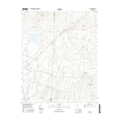 2016 Atwood2016 Print · USGSCarroll and Gibson counties come together in the mid-2010s along the winding Rutherford Fork Obion River. Researchers can trace local lineages through numerous rural burial sites like Friendship Cem and Poplar Springs Cem near the town of Atwood.
 - 2016 Map of Milan, 2016 Print
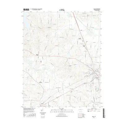 2016 Milan2016 Print · USGSGibson County is seen here in the mid-2010s as a thriving agricultural and transit hub centered on the bustling streets of Milan. Genealogists and local historians can trace legacy sites from the Gibson County Airport to several rural burial grounds like White Rose Cem and Cloverdale Cem.
 - 2019 Map of Medina, 2019 Print
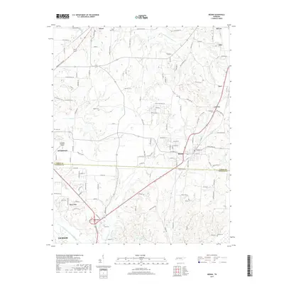 2019 Medina2019 Print · USGSThe Gibson and Madison County borderlands are captured here in the decade before 2020, showing the growth of Medina and the rural expanse north of Jackson. Researchers can trace old family burial grounds like White Rose Cem and locate community landmarks from Goat City to Camp Williamson Lake.
 - 2019 Map of Milan, 2019 Print
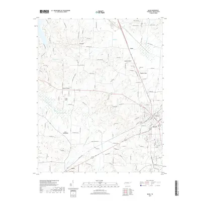 2019 Milan2019 Print · USGSGibson County at the end of the 2010s reveals a landscape of enduring rural communities and significant regional aviation infrastructure. Researchers can trace family history through numerous local sites like Cloverdale Cem and Walnut Grove Cem or locate the historic centers of Union Central and Gibson.
 - 2019 Map of Atwood, 2019 Print
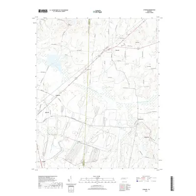 2019 Atwood2019 Print · USGSWest Tennessee agricultural life and rail commerce are on full display in this study of the Gibson and Carroll county line. Genealogists can trace family roots through several local burial grounds, including Poplar Springs Cem, Newhope Cem, and Shiloh Cem.
 - 2019 Map of Spring Creek, 2019 Print
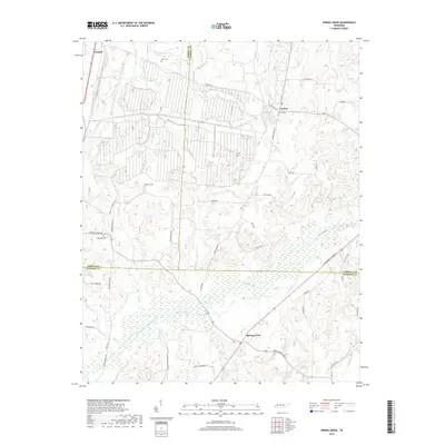 2019 Spring Creek2019 Print · USGSMadison County and its neighboring Gibson and Carroll borders are shown here in the late twenty-teens, centering on the rural community of Spring Creek. Researchers can trace local heritage through several small cemeteries like Hopewell Cem and Lavinia Cem along the Broadway of America.
 - 2022 Map of Spring Creek, 2022 Print
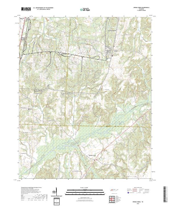 2022 Spring Creek2022 Print · USGSThe West Tennessee countryside at the meeting of Gibson, Carroll, and Madison Counties is shown here in the 2020s. Genealogists can trace family landmarks like Elam Cem and rural hubs such as Graball and Lavinia.
Showing maps 1-25 of 28
Top cities near Milan
- Jackson historical maps
- Humboldt historical maps
- McKenzie historical maps
- Trenton historical maps
- Dyer historical maps
- Medina historical maps
See more
Top neighborhoods of Milan
Frequently asked questions
- What are the different types of historical maps available for Milan?
- What is the oldest map of Milan?
- Where can I purchase historical maps of Milan for my home or office?
- Where can I download high-res historical maps of Milan?
- Are there historical topographic maps available for Milan?
- Is there historical aerial imagery available for Milan?
- Where are historical maps of Milan sourced from?