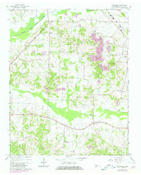
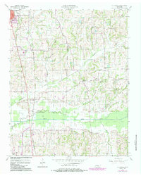
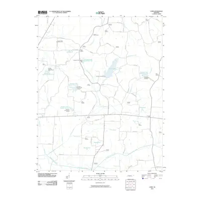
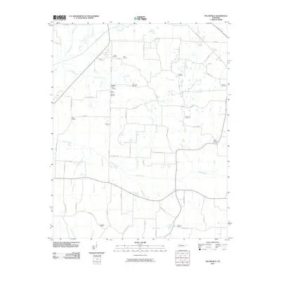
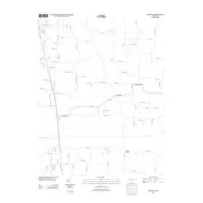
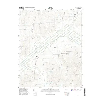
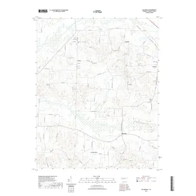
1967 Map of Pillowville
USGS Topo · Published 1981About this map
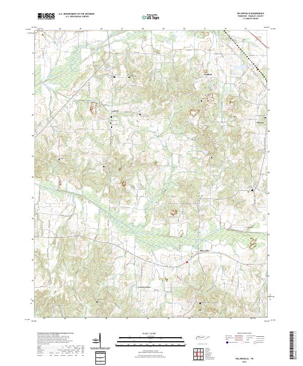
The Middle Fork Obion River winds across the northern reaches of this Weakley County landscape, anchoring a network of creek bottoms including Cane Creek and Spring Creek. The late 1960s terrain is marked by significant industrial activity, specifically the numerous Claypit and Claypits sites concentrated east of the Louisville and Nashville railroad line near Gleason. These workings reflect the region's historical reliance on clay extraction, which shaped the local economy alongside traditional agriculture.
Find a feature on this map
33 named features on this map. Tap any name to fly to it.
Don’t see what you’re looking for? This feature index may not catch every label — zoom into the map to look around manually.
Map Details
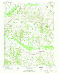
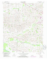
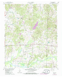
Editions of this 1967 Pillowville Map
3 editions found
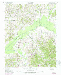
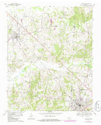
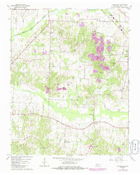
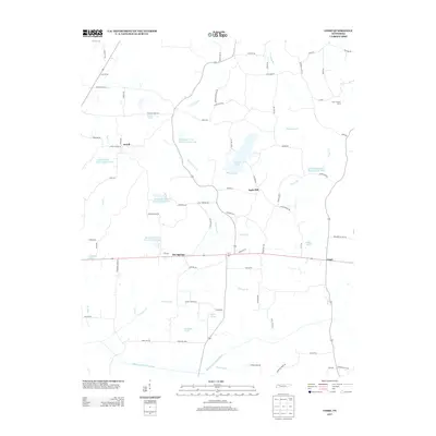
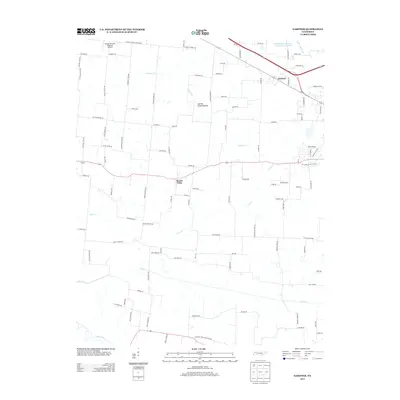
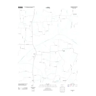
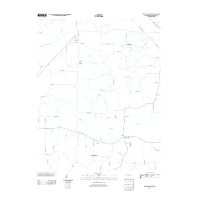
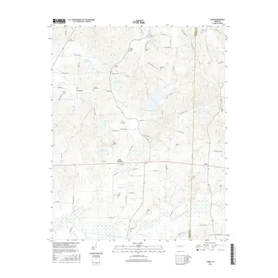
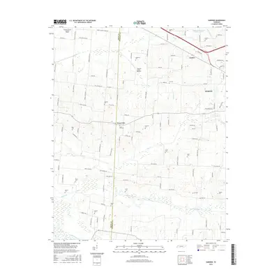
Historical Maps of Gleason Through Time
31 maps found
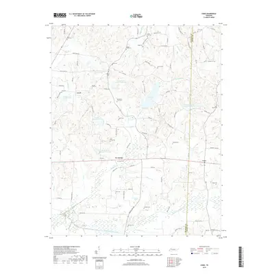
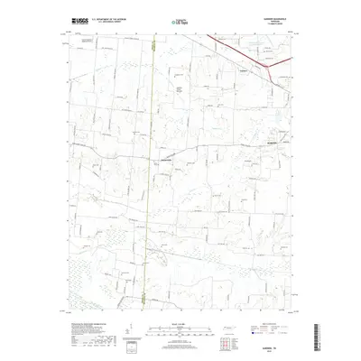
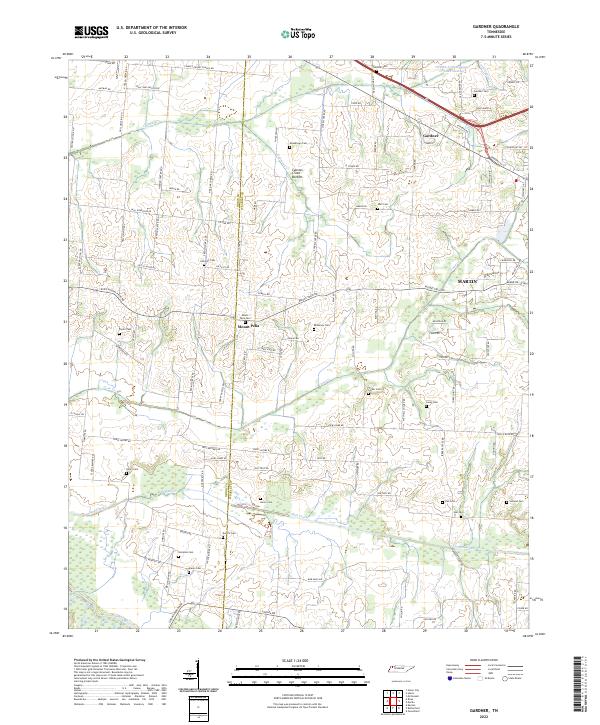
1956 Gardner
Weakley County, TN
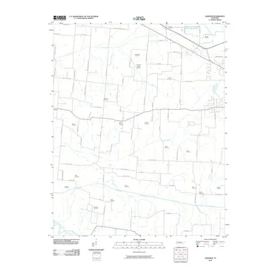
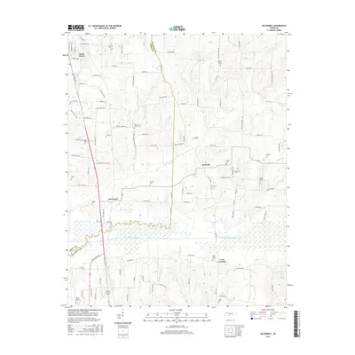
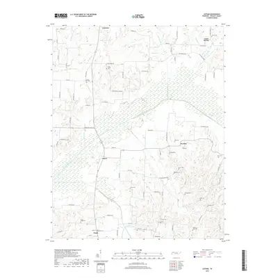
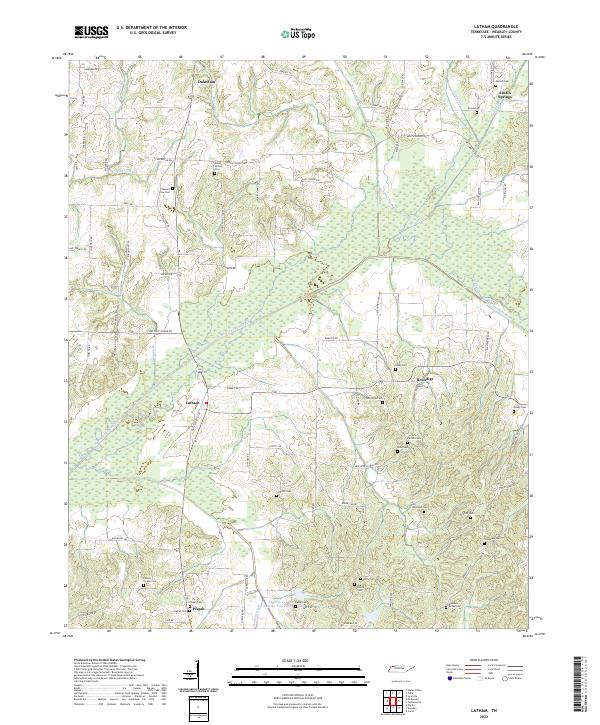
1956 Latham
Weakley County, TN
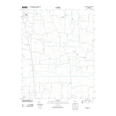
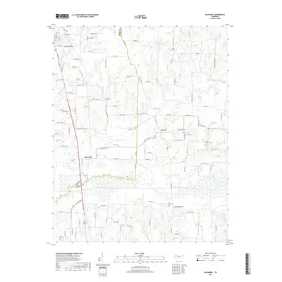
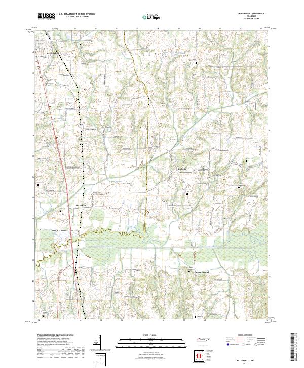
1956 Mc Connell
Weakley County, TN
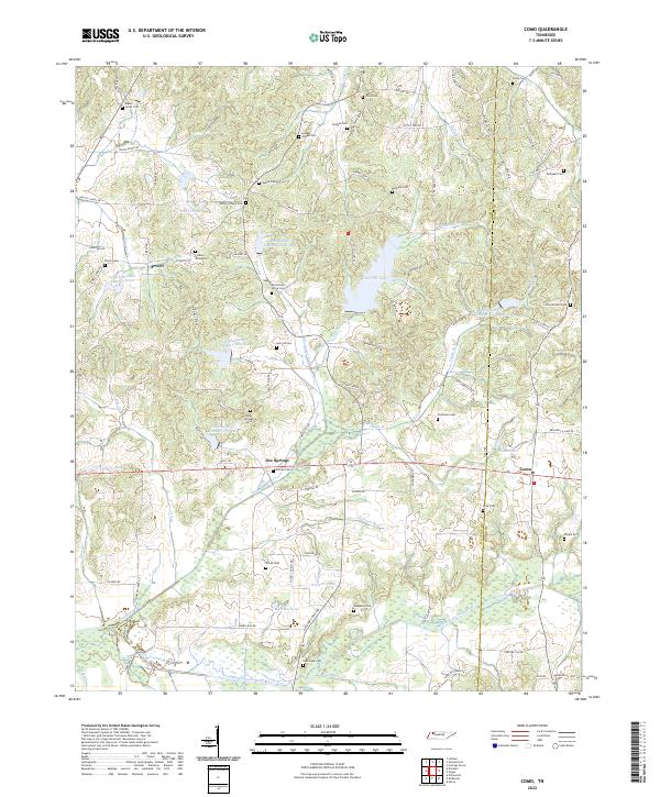
1957 Como
Weakley County, TN
1967 Mc Kenzie
Weakley County, TN
1967 Pillowville
Weakley County, TN
2010 Como
Weakley County, TN
2010 Gardner
Weakley County, TN
2010 Latham
Weakley County, TN
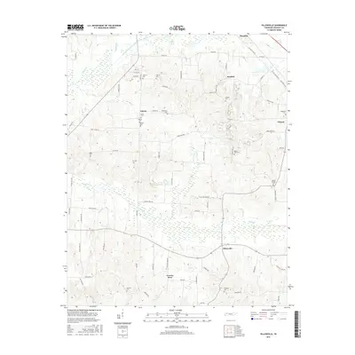
2010 McConnell
Weakley County, TN
2010 Pillowville
Weakley County, TN
2013 Como
Weakley County, TN
2013 Gardner
Weakley County, TN
2013 Latham
Weakley County, TN
2013 McConnell
Weakley County, TN
2013 Pillowville
Weakley County, TN
2016 Como
Weakley County, TN
2016 Gardner
Weakley County, TN
2016 Latham
Weakley County, TN
2016 McConnell
Weakley County, TN
2016 Pillowville
Weakley County, TN
2019 Como
Weakley County, TN
2019 Gardner
Weakley County, TN
2019 Latham
Weakley County, TN
2019 McConnell
Weakley County, TN
2019 Pillowville
Weakley County, TN
2022 Como
Weakley County, TN
2022 Gardner
Weakley County, TN
2022 Latham
Weakley County, TN
2022 McConnell
Weakley County, TN
2022 Pillowville
Weakley County, TN