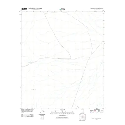
2011 Map of Drew Spring Well
USGS Topo · Published 2011About this map
The Sheridan Mountains dominate the southwestern quadrant of this arid landscape in Pima County, Arizona. This 2011 survey illustrates a sparse but vital desert infrastructure centered on water access and a primary network of tribal roads. Drew Spring Well serves as a critical local landmark in the western flats, where the topography transitions from high peaks to alluvial plains. The map traces the drainage patterns of Anegam Wash in the southeast, alongside a geometric grid of thoroughfares including Indian Rte-15 and Indian Rte-40. These routes intersect across the desert floor, indicating the essential corridors of travel within the Sif Oidak District and the Tohono O'odham Nation. The stark contrast between the prominent mountain ridges and the expansive washes reveals the fundamental geological and hydrological character of this portion of the Sonoran Desert.
Find a feature on this map
7 named features on this map. Tap any name to fly to it.
Don’t see what you’re looking for? This feature index may not catch every label — zoom into the map to look around manually.
Map Details
Editions of this 2011 Drew Spring Well Map
This is the sole edition of this map. No revisions or reprints were ever made.
Other maps of this area

1934 · Silver Bell
USGS Topo · 1:125,000

1941 · Vekol Mountains
USGS Topo · 1:62,500

1942 · Silver Reef Mountains
USGS Topo · 1:62,500

1942 · Vekol Mountains
USGS Topo · 1:62,500

1953 · Ajo
USGS Topo · 1:250,000

1956 · Tucson
USGS Topo · 1:250,000

1957 · Ajo
USGS Topo · 1:250,000

1958 · Ajo
USGS Topo · 1:250,000

1958 · Tucson
USGS Topo · 1:250,000

1959 · Tucson
USGS Topo · 1:250,000