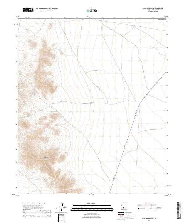
2021 Map of Drew Spring Well
USGS Topo · Published 2021About this map
The Santa Rosa Valley defines the central and eastern portions of this landscape, where the terrain levels out into a broad alluvial plain. To the west, the topography rises sharply into the jagged peaks of the Cimarron Mountains and the Sheridan Mountains, creating a striking contrast between the desert floor and the high ridges. This 2021 survey reveals a sparse network of infrastructure primarily composed of established tribal routes, including Indian Rte 15, Indian Rte 40, and Indian Rte 27. These roads trace the natural contours of the basin, connecting distant points across the arid expanse. In the southeast corner, the seasonal drainage of Anegam Wash cuts through the valley floor, indicating the intermittent water flow that shapes the local environment.
Find a feature on this map
13 named features on this map. Tap any name to fly to it.
Don’t see what you’re looking for? This feature index may not catch every label — zoom into the map to look around manually.
Map Details
Editions of this 2021 Drew Spring Well Map
This is the sole edition of this map. No revisions or reprints were ever made.
Other maps of this area

1934 · Silver Bell
USGS Topo · 1:125,000

1941 · Vekol Mountains
USGS Topo · 1:62,500

1942 · Silver Reef Mountains
USGS Topo · 1:62,500

1942 · Vekol Mountains
USGS Topo · 1:62,500

1953 · Ajo
USGS Topo · 1:250,000

1956 · Tucson
USGS Topo · 1:250,000

1957 · Ajo
USGS Topo · 1:250,000

1958 · Ajo
USGS Topo · 1:250,000

1958 · Tucson
USGS Topo · 1:250,000

1959 · Tucson
USGS Topo · 1:250,000