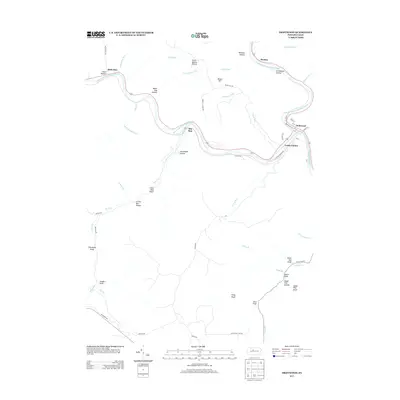
2013 Map of Driftwood
USGS Topo · Published 2013About this map
Driftwood and the neighboring settlement of Castle Garden sit at the confluence where the Bennett Br Sinnemahoning Cr and Driftwood Br Sinnemahoning Cr join to form the main stem of the Sinnemahoning Cr. This 2013 survey reveals a landscape deeply carved by numerous runs and hollows, where narrow valley floors provide the only viable routes for local roads and settlements.
Find a feature on this map
61 named features on this map. Tap any name to fly to it.
Don’t see what you’re looking for? This feature index may not catch every label — zoom into the map to look around manually.
Map Details
Editions of this 2013 Driftwood Map
This is the sole edition of this map. No revisions or reprints were ever made.
Other maps of this area

1929 · Karthaus
USGS Topo · 1:62,500

1929 · Clearfield
USGS Topo · 1:48,000

1932 · Clearfield
USGS Topo · 1:62,500

1932 · Karthaus
USGS Topo · 1:62,500

1941 · Benezette
USGS Topo · 1:62,500

1943 · Benezette
USGS Topo · 1:62,500

1945 · Driftwood
USGS Topo · 1:48,000

1945 · First Fork
USGS Topo · 1:24,000

1945 · Sinnemahoning
USGS Topo · 1:24,000

1945 · Driftwood
USGS Topo · 1:24,000
Featured Places
- Benezette Township, PA
- Driftwood, PA
- Hicks Run, Gibson Township
- Mix Run, Gibson Township
- Gibson Township, PA