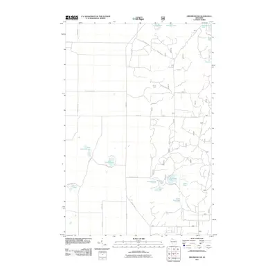
2011 Map of Drummond NW
USGS Topo · Published 2011About this map
The glacial lakes and forest roads of Bayfield County define this pocket of northern Wisconsin. Named water bodies are the primary landmarks across the terrain, ranging from the large Lake Ruth and Muskellunge Lake in the north to the smaller Ducetts Lakes and Camp Nine Lake further south. The map documents an extensive network of forestry routes, including Forest Road 410 and Forest Rd 1632, which weave between Sand Lake and Claire Lake. This infrastructure reflects the region's long-standing reliance on timber management and seasonal recreation. Local travel is anchored by County Hwy-A and residential tracks like Hughes Town Line Rd and Stoczynski Rd, which provide access to secluded shorelines at West Eightmile Lake and East Eightmile Lake.
Find a feature on this map
33 named features on this map. Tap any name to fly to it.
Don’t see what you’re looking for? This feature index may not catch every label — zoom into the map to look around manually.
Map Details
Editions of this 2011 Drummond NW Map
This is the sole edition of this map. No revisions or reprints were ever made.
Other maps of this area

1943 · Iron Lake
USGS Topo · 1:48,000

1944 · Drummond
USGS Topo · 1:48,000

1945 · Highland
USGS Topo · 1:48,000

1947 · Drummond
USGS Topo · 1:48,000

1947 · Brule
USGS Topo · 1:48,000

1947 · Iron Lake
USGS Topo · 1:48,000

1949 · Highland
USGS Topo · 1:48,000

1953 · Ashland
USGS Topo · 1:250,000

1958 · Ashland
USGS Topo · 1:250,000

1961 · Iron Lake SW
USGS Topo · 1:24,000