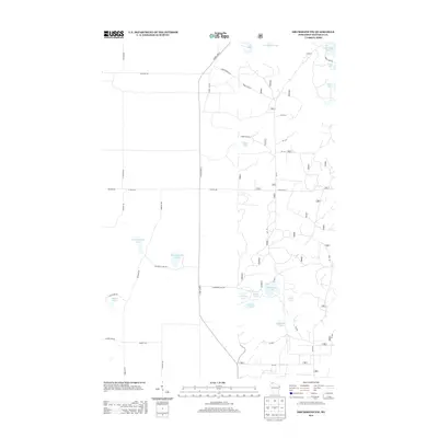
2013 Map of Drummond NW
USGS Topo · Published 2013About this map
West Eightmile Lake and East Eightmile Lake anchor the central portion of this Northwoods landscape, where a dense network of forest roads and glacial lakes defines the terrain. The map reveals a remote geography shaped by timber and recreation, with specialized access routes such as Forest Rd 410 and Gravel Pit Rd weaving through the timberland.
Find a feature on this map
61 named features on this map. Tap any name to fly to it.
Don’t see what you’re looking for? This feature index may not catch every label — zoom into the map to look around manually.
Map Details
Editions of this 2013 Drummond NW Map
This is the sole edition of this map. No revisions or reprints were ever made.
Other maps of this area

1943 · Iron Lake
USGS Topo · 1:48,000

1944 · Drummond
USGS Topo · 1:48,000

1945 · Highland
USGS Topo · 1:48,000

1947 · Drummond
USGS Topo · 1:48,000

1947 · Brule
USGS Topo · 1:48,000

1947 · Iron Lake
USGS Topo · 1:48,000

1949 · Highland
USGS Topo · 1:48,000

1953 · Ashland
USGS Topo · 1:250,000

1958 · Ashland
USGS Topo · 1:250,000

1961 · Iron Lake SW
USGS Topo · 1:24,000