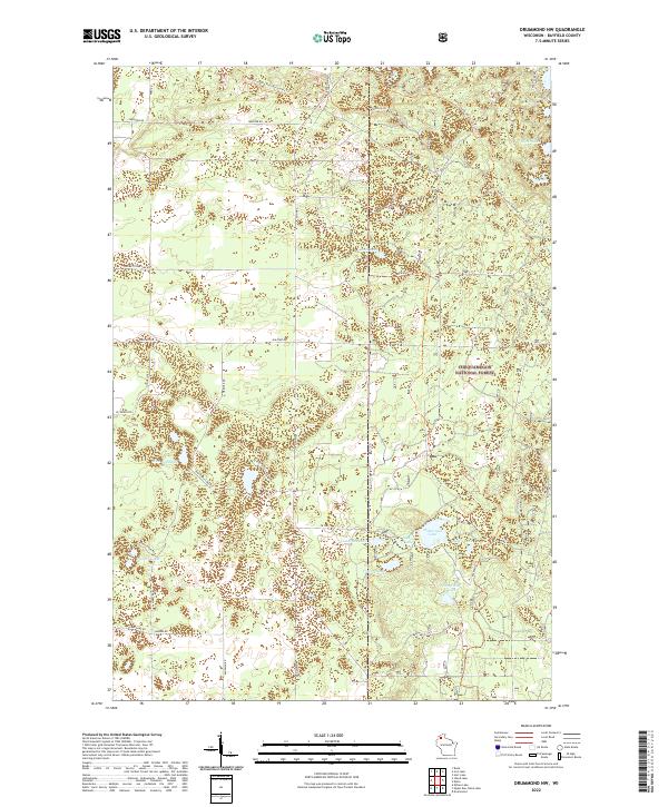
2022 Map of Drummond NW
USGS Topo · Published 2022About this map
Chequamegon National Forest dominates this section of Bayfield County, characterized by a dense concentration of glacial kettle lakes and an extensive network of recreational trails. The northern reaches are bisected by the North Country National Scenic Trl, which winds past Trout Lake and Silver Lake before trending southwest through the timberland. Centrally located, Sand Lake and the Buckskin Trl provide access points into the more secluded interior of the forest.
Find a feature on this map
33 named features on this map. Tap any name to fly to it.
Don’t see what you’re looking for? This feature index may not catch every label — zoom into the map to look around manually.
Map Details
Editions of this 2022 Drummond NW Map
This is the sole edition of this map. No revisions or reprints were ever made.
Other maps of this area

1943 · Iron Lake
USGS Topo · 1:48,000

1944 · Drummond
USGS Topo · 1:48,000

1945 · Highland
USGS Topo · 1:48,000

1947 · Drummond
USGS Topo · 1:48,000

1947 · Brule
USGS Topo · 1:48,000

1947 · Iron Lake
USGS Topo · 1:48,000

1949 · Highland
USGS Topo · 1:48,000

1953 · Ashland
USGS Topo · 1:250,000

1958 · Ashland
USGS Topo · 1:250,000

1961 · Iron Lake SW
USGS Topo · 1:24,000