2024 Map of Durand
USGS Topo · Published 2024About this map
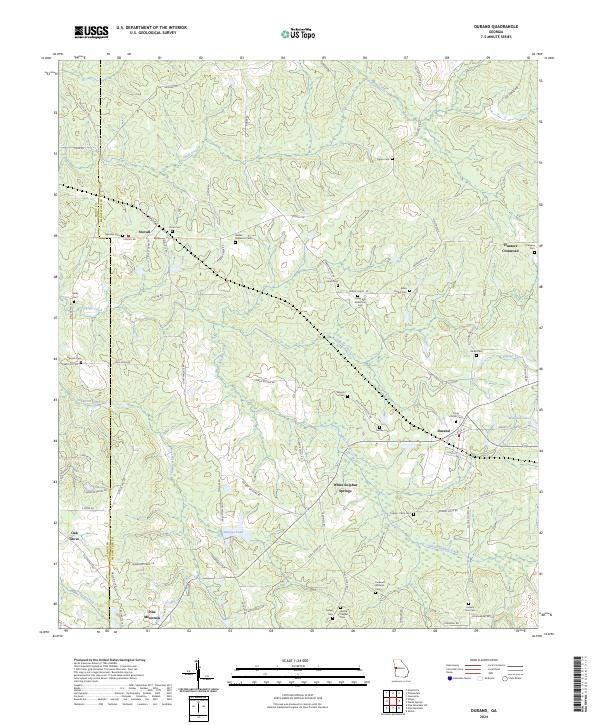
Stovall and Durand anchor this portion of the Meriwether County landscape, where the terrain begins to rise toward the prominent ridge of Pine Mountain to the south. The area is defined by a dense network of family-named cemeteries and rural crossroads, reflecting generations of local settlement. Numerous burial sites like Wilson Dickerson Cem, Grier Cem, and the Arbor Chapel Cem are scattered across the rolling hills, often situated near historic road junctions or creek drainage points.
Find a feature on this map
85 named features on this map. Tap any name to fly to it.
Don’t see what you’re looking for? This feature index may not catch every label — zoom into the map to look around manually.
Map Details
Editions of this 2024 Durand Map
This is the sole edition of this map. No revisions or reprints were ever made.
Historical Maps of Pine Mountain Through Time
4 maps found