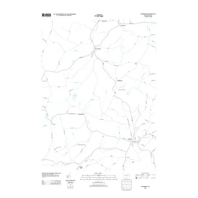
2013 Map of Dushore
USGS Topo · Published 2013About this map
Dushore serves as a central hub in this section of Sullivan County, where the historic Susquehanna and Tioga Tpke intersects with the local road network. The landscape is defined by the winding paths of S Br Towanda Cr and Little Loyalsock Cr, which dictate the placement of early settlements like Laddsburg, New Albany, and Cherry Mills. Local aviation history is represented by Dwight's Delight Airport, situated near the rural crossroads of Coveytown.
Find a feature on this map
99 named features on this map. Tap any name to fly to it.
Don’t see what you’re looking for? This feature index may not catch every label — zoom into the map to look around manually.
Map Details
Editions of this 2013 Dushore Map
This is the sole edition of this map. No revisions or reprints were ever made.
Other maps of this area

1927 · Eagles Mere
USGS Topo · 1:48,000

1932 · Eagle Mere
USGS Topo · 1:62,500
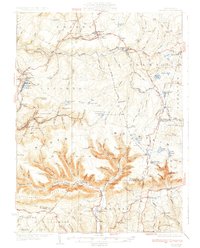
1934 · Laporte
USGS Topo · 1:62,500

1943 · Monroeton
USGS Topo · 1:62,500
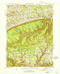
1943 · Powell
USGS Topo · 1:62,500
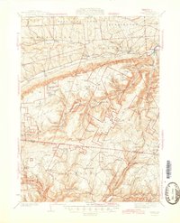
1945 · Powell
USGS Topo · 1:62,500
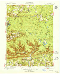
1953 · LaPorte
USGS Topo · 1:62,500
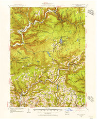
1953 · Eagles Mere
USGS Topo · 1:62,500
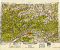
1954 · Williamsport
USGS Topo · 1:250,000
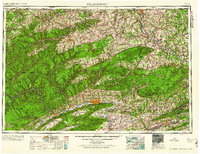
1960 · Williamsport
USGS Topo · 1:250,000