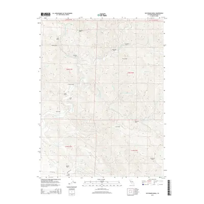
2015 Map of Dutchmans Knoll
USGS Topo · Published 2015About this map
The Middle Fork Ten Mile River and its intricate drainage network define this 2015 survey of the northern California timberlands. This map details the complex geography of Mendocino County, where numerous watercourses like the Little N Fork Ten Mile River and S Fork Ten Mile River carve deep into the terrain. The settlement of Little Valley sits in the southwest corner, accessed by Little Valley Rd and Reed Orchard Rd, serving as a rare point of human habitation in a landscape dominated by prominent rises such as Ramsey Ridge and Buckhorn Ridge. The eponymous Dutchmans Knoll stands in the southeast, marking a high point near Smith Cr. This topographic study captures a region primarily shaped by its waterways and ridges, including Bucha Ridge and Smith Ridge, which steer the flow of the Ten Mile River system toward the Pacific coast.
Find a feature on this map
38 named features on this map. Tap any name to fly to it.
Don’t see what you’re looking for? This feature index may not catch every label — zoom into the map to look around manually.
Map Details
Editions of this 2015 Dutchmans Knoll Map
This is the sole edition of this map. No revisions or reprints were ever made.
Other maps of this area

1920 · Glenblair
USGS Topo · 1:62,500

1920 · Fort Bragg
USGS Topo · 1:62,500

1921 · Westport
USGS Topo · 1:62,500

1921 · Branscomb
USGS Topo · 1:62,500

1943 · Glenblair
USGS Topo · 1:62,500

1943 · Fort Bragg
USGS Topo · 1:62,500

1950 · Cape Vizcaino
USGS Topo · 1:62,500

1951 · Cape Vizcaino
USGS Topo · 1:62,500

1951 · Branscomb
USGS Topo · 1:62,500

1957 · Ukiah
USGS Topo · 1:250,000