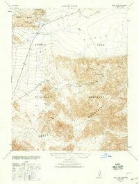
1940 Map of Eagle Tank
USGS Topo · Published 1959About this map
The high desert landscape of Joshua Tree National Monument was defined by its arid geography and hard-rock extraction during the mid-twentieth century. This survey documents a critical period of prospecting across the Pinto Mtns and Eagle Mountains, revealing a cluster of remote workings and water sources essential for desert survival. Key mining operations like the Iron Chief Mine (Abandoned) and the Black Eagle Mine speak to the region's mineral industry, while names like Sunrise Mill and Mission Mine indicate the specific locations where ore was processed. The presence of water, noted at Eagle Tank, Mission Well, and Sunrise Well, provides a glimpse into the logistical challenges of maintaining industrial life in the Pinto Basin.
Find a feature on this map
15 named features on this map. Tap any name to fly to it.
Don’t see what you’re looking for? This feature index may not catch every label — zoom into the map to look around manually.
Map Details
Editions of this 1940 Eagle Tank Map
This is the sole edition of this map. No revisions or reprints were ever made.
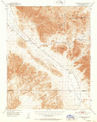
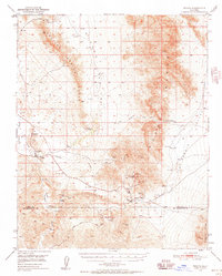
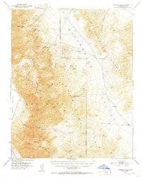
Other maps of this area

1908 · Furnace Creek
USGS Topo · 1:250,000

1910 · Furnace Creek
USGS Topo · 1:250,000

1933 · Avawatz Mountains
USGS Topo · 1:250,000

1947 · Trona
USGS Topo · 1:250,000

1948 · Trona
USGS Topo · 1:250,000

1948 · Death Valley
USGS Topo · 1:250,000
1950 · Confidence Hills
USGS Topo · 1:62,500
1950 · Tecopa
USGS Topo · 1:62,500

1951 · Tecopa
USGS Topo · 1:62,500
1951 · Funeral Peak
USGS Topo · 1:62,500