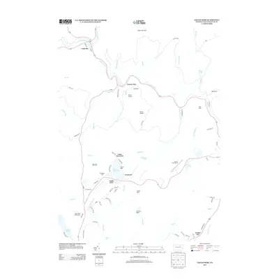
2013 Map of Eagles Mere
USGS Topo · Published 2013About this map
Eagles Mere Lake anchors this Sullivan County landscape, serving as a center for the surrounding settlements of Eagles Mere and Eagles Mere Park. The area is defined by its recreation-oriented layout, featuring the Eagles Mere Golf Course and the nearby Merritt Field Airport. The terrain descends from Chestnut Ridge toward the winding path of Loyalsock Cr, where the village of Forksville sits at the junction with Little Loyalsock Cr.
Find a feature on this map
75 named features on this map. Tap any name to fly to it.
Don’t see what you’re looking for? This feature index may not catch every label — zoom into the map to look around manually.
Map Details
Editions of this 2013 Eagles Mere Map
This is the sole edition of this map. No revisions or reprints were ever made.
Other maps of this area

1927 · Eagles Mere
USGS Topo · 1:48,000

1932 · Eagle Mere
USGS Topo · 1:62,500

1934 · Laporte
USGS Topo · 1:62,500

1943 · Monroeton
USGS Topo · 1:62,500

1943 · Powell
USGS Topo · 1:62,500

1945 · Powell
USGS Topo · 1:62,500

1953 · LaPorte
USGS Topo · 1:62,500

1953 · Eagles Mere
USGS Topo · 1:62,500

1954 · Williamsport
USGS Topo · 1:250,000

1960 · Williamsport
USGS Topo · 1:250,000