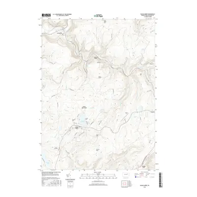
2016 Map of Eagles Mere
USGS Topo · Published 2016About this map
Eagles Mere Lake serves as the central focal point of this Sullivan County landscape, surrounded by a network of seasonal avenues and historic parklands like Eagles Mere Park. The settlement of Eagles Mere is defined by its early 20th-century resort character, with roads like Lakewood Ave and Sullivan Ave tracing the shoreline. To the north, the terrain drops sharply toward the winding Loyalsock Creek, where the geography becomes more dramatic at Canyon Vista and the Labyrinth. Evidence of the region's industrial past and recreational draw is scattered throughout the hills, from the high vantage point at Wrights View to the specialized utility of Eagles Mere Field and the legacy of Coal Mine Rd. The map also captures the quiet reaches of the Devils Garden and the steady flow of numerous runs, including Ketchum Run and Shanersburg Run, which drain the forested plateau into the valley below.
Find a feature on this map
68 named features on this map. Tap any name to fly to it.
Don’t see what you’re looking for? This feature index may not catch every label — zoom into the map to look around manually.
Map Details
Editions of this 2016 Eagles Mere Map
This is the sole edition of this map. No revisions or reprints were ever made.
Other maps of this area

1927 · Eagles Mere
USGS Topo · 1:48,000

1932 · Eagle Mere
USGS Topo · 1:62,500

1934 · Laporte
USGS Topo · 1:62,500

1943 · Monroeton
USGS Topo · 1:62,500

1943 · Powell
USGS Topo · 1:62,500

1945 · Powell
USGS Topo · 1:62,500

1953 · LaPorte
USGS Topo · 1:62,500

1953 · Eagles Mere
USGS Topo · 1:62,500

1954 · Williamsport
USGS Topo · 1:250,000

1960 · Williamsport
USGS Topo · 1:250,000