Loading...
Loading map...2024 Map of Earle
USGS Topo · Published 2024About this map
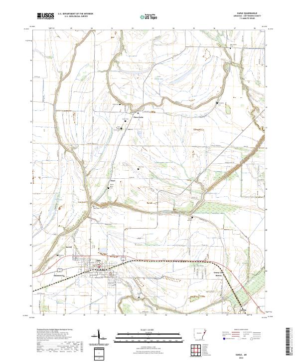
The Tyronza River winds through the eastern edge of this Crittenden County landscape, where the alluvial terrain of the Arkansas Delta is defined by low-lying basins and drainage bayous. The town of Earle serves as a central hub, situated along the Union Pacific Railroad corridor between Norvell and Shannonville. To the south, the expansive Grassy Lake Bottom illustrates the region's historic relationship with seasonal wetlands and the shifting course of Blackfish Bayou.
Find a feature on this map
95 named features on this map. Tap any name to fly to it.
Don’t see what you’re looking for? This feature index may not catch every label — zoom into the map to look around manually.
Map Details
Date Portrayed2024
Date Published2024
PublisherU.S. Geological Survey
Map TypeTopographic
Scale1:24000
Physical Dimensions24 x 29 inches
Editions of this 2024 Earle Map
This is the sole edition of this map. No revisions or reprints were ever made.
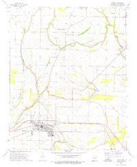
Historical Maps of Earle Through Time
Featured Locations
Source Details
SourceU.S. Geological Survey
CopyrightPublic Domain