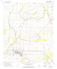
1974 Map of Earle
USGS Topo · Published 1976About this map
The Tyronza River winds through the northern half of this Arkansas Delta landscape, shaping a network of old river channels and oxbow lakes like Stump Lake, Beautiful Lake, and Brougham Lake. The city of Earle serves as the central hub, defined by the crossing of the Missouri Pacific railroad and a grid that includes Dunbar High School. The surrounding agricultural lands are dotted with numerous rural landmarks, particularly small churches and family burial grounds such as the Gibson Bayou Church and its nearby Berry Cemetery. Small named settlements like Three Forks and Shannonville mark the local road network, while the extensive system of drainage canals, including Ditch No 1 and Ditch No 13, illustrates the mid-century effort to manage the Grassy Lake Bottom for large-scale farming.
Find a feature on this map
56 named features on this map. Tap any name to fly to it.
Don’t see what you’re looking for? This feature index may not catch every label — zoom into the map to look around manually.
Map Details
Editions of this 1974 Earle Map
2 editions found
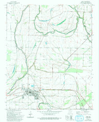
Other maps of this area

1939 · Edmondson
USGS Topo · 1:62,500

1940 · Deckerville
USGS Topo · 1:62,500

1940 · Princedale
USGS Topo · 1:62,500

1940 · Whitmore
USGS Topo · 1:62,500

1953 · Memphis
USGS Topo · 1:250,000

1954 · Edmondson
USGS Topo · 1:62,500

1956 · Memphis
USGS Topo · 1:250,000

1956 · Whitmore
USGS Topo · 1:62,500

1956 · Princedale
USGS Topo · 1:62,500

1957 · Deckerville
USGS Topo · 1:62,500