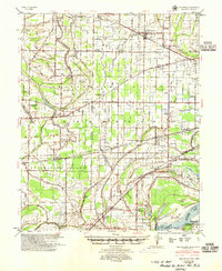
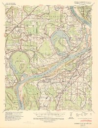
1954 Map of Edmondson
USGS Topo · Published 1955About this map
Edmondson and its surrounding Delta landscape are defined by a complex network of waterways and early transportation routes. The Chicago Rock Island and Pacific railroad bisects the terrain, connecting a series of rural hamlets including Crawfordsville, Julius, and Heth. This era reveals a densely settled agricultural society, evidenced by the numerous combined community centers such as Pilgrim Rest Sch, Ch & Cem and New Shady Grove Sch, Ch & Cem.
Find a feature on this map
132 named features on this map. Tap any name to fly to it.
Don’t see what you’re looking for? This feature index may not catch every label — zoom into the map to look around manually.
Map Details
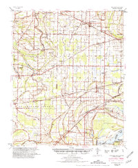
Editions of this 1954 Edmondson Map
2 editions found
Other maps of this area

1908 · Lake Cormorant
USGS Topo · 1:24,000
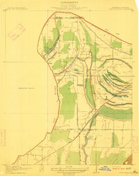
1912 · Lake Cormorant
USGS Topo · 1:31,680

1916 · Memphis
USGS Topo · 1:62,500

1925 · Memphis
USGS Topo · 1:48,000

1927 · Memphis
USGS Topo · 1:62,500

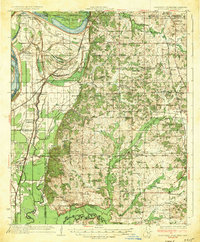
1931 · Horseshoe Lake
USGS Topo · 1:62,500

1931 · Jericho
USGS Topo · 1:62,500

1932 · Horn Lake
USGS Topo · 1:48,000
1935 · Horn Lake
USGS Topo · 1:62,500
1939 · Horseshoe Lake
USGS Topo · 1:62,500