
1953 Map of Memphis
USGS Topo · Published 1966About this map
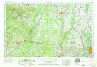
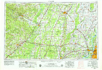
Crowley's Ridge rises distinctly from the surrounding alluvial lowlands of the Mississippi embayment, defining the geography of eastern Arkansas in the mid-1950s. The map illustrates a complex hydraulic landscape where the Mississippi River and St. Francis River dominate the drainage patterns, supported by engineered works like the Oak Donnick Floodway. Major regional hubs such as Jonesboro and Memphis are connected by a dense lattice of transportation infrastructure, including the St. Louis-San Francisco Ry and U.S. Highway 67. Conservation areas like Big Lake National Wildlife Refuge and Wapanocca N W R sit alongside river features like Brandywine Island, marking the intersection of the natural river system and human settlement. The placement of towns like Augusta, Newport, and Forrest City reflects the historic reliance on both rail lines and the shifting courses of the White River and its tributaries.
Find a feature on this map
77 named features on this map. Tap any name to fly to it.
Don’t see what you’re looking for? This feature index may not catch every label — zoom into the map to look around manually.
Map Details
Editions of this 1953 Memphis Map
3 editions found
Other maps of this area

1890 · Batesville
USGS Topo · 1:125,000

1890 · Mountain Home
USGS Topo · 1:125,000

1891 · Little Rock
USGS Topo · 1:125,000

1891 · Mountain Home
USGS Topo · 1:125,000

1891 · Batesville
USGS Topo · 1:125,000

1892 · Mountain View
USGS Topo · 1:125,000

1893 · Little Rock
USGS Topo · 1:125,000

1894 · Mountain View
USGS Topo · 1:125,000

1894 · Mountain Home
USGS Topo · 1:125,000

1908 · Lake Cormorant
USGS Topo · 1:24,000