
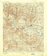
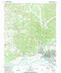
1890 Map of Batesville
USGS Topo · Published 1890About this map
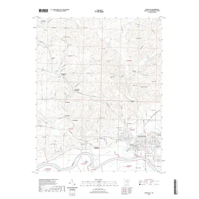
The White River serves as the central artery for this late nineteenth-century portrait of North-Central Arkansas, where the regional economy relied heavily on a network of river crossings. In an era before extensive bridging, numerous ferry sites such as Gainer Fy, Ramsey Fy, and Walls Fy provided critical connections between the settlements of Batesville, Desha, and the upland interior. The presence of the Southern Ry running through Moorefield and Sulphur Rock signals the arrival of industrial transportation, yet the landscape remains largely defined by its rural character and proximity to natural landmarks like Blowing Cave. For genealogists, the map preserves specific homestead locations and early religious centers like Bethesda Ch and Eutopie Ch, along with community nodes such as Barren Fork (Drytown) and the Old Clem Place, offering a precise spatial record of the area's inhabitants and their local institutions.
Find a feature on this map
79 named features on this map. Tap any name to fly to it.
Don’t see what you’re looking for? This feature index may not catch every label — zoom into the map to look around manually.
Map Details
Editions of this 1890 Batesville Map
This is the sole edition of this map. No revisions or reprints were ever made.
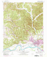
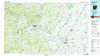
Historical Maps of Batesville Through Time
11 maps found
1890 Batesville
Independence County, AR
1891 Batesville
Independence County, AR
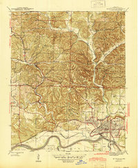
1942 Batesville
Independence County, AR
1943 Batesville
Independence County, AR
1986 Batesville
Independence County, AR
1989 Batesville
Independence County, AR
2011 Batesville
Independence County, AR
2014 Batesville
Independence County, AR
2017 Batesville
Independence County, AR
2020 Batesville
Independence County, AR

2024 Batesville
Independence County, AR