
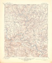
1894 Map of Mountain Home
USGS Topo · Published 1894About this map
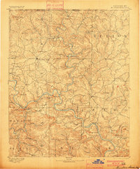
Mountain Home serves as the central hub of this northern Arkansas landscape during the late nineteenth century, a period defined by reliance on the winding river systems of the Ozarks. The White River and Buffalo River dominate the topography, carving deep valleys through the limestone plateau. Because few bridges existed at the time of the 1890 survey, the map documents an essential network of river crossings, including Traceys Fy & Fd, Nelsons Fy, and Bien's Fd. These points of transit were critical for connectivity between isolated settlements like Buffalo City and Calico Rock. Significant natural landmarks such as Buzzard Roost Falls and Stair Bluff emphasize the elevation changes inherent to the region, while numerous family-named peaks like Wallace Knob and Matney Knob provide valuable data for genealogical research into early landholders.
Find a feature on this map
83 named features on this map. Tap any name to fly to it.
Don’t see what you’re looking for? This feature index may not catch every label — zoom into the map to look around manually.
Map Details
Editions of this 1894 Mountain Home Map
6 editions found
Other maps of this area

1890 · Batesville
USGS Topo · 1:125,000

1890 · Mountain Home
USGS Topo · 1:125,000

1891 · Mountain Home
USGS Topo · 1:125,000

1891 · Batesville
USGS Topo · 1:125,000

1892 · Marshall
USGS Topo · 1:125,000

1892 · Mountain View
USGS Topo · 1:125,000

1893 · Yellville
USGS Topo · 1:125,000

1894 · Mountain View
USGS Topo · 1:125,000

1894 · Marshall
USGS Topo · 1:125,000

1901 · Marshall
USGS Topo · 1:125,000