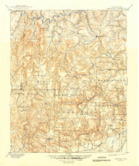
1892 Map of Marshall
USGS Topo · Published 1892About this map
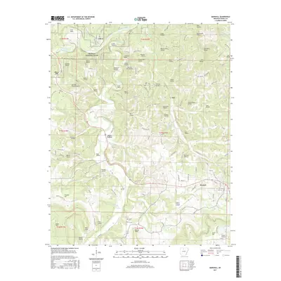
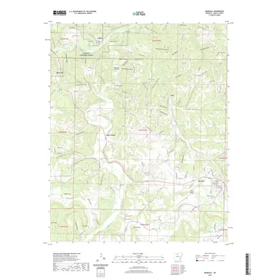
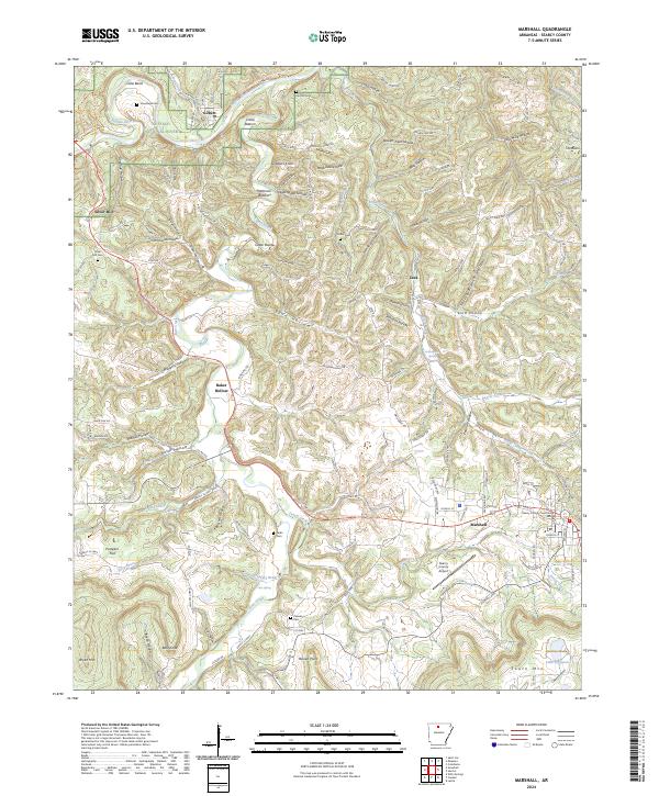
Marshall serves as the focal point of this late 19th-century survey of North Central Arkansas, a region dominated by the massive relief of the Boston Mountain range. The landscape is defined by its complex drainage systems, where the Buffalo Fork White River carves through the northern reaches while the headwaters of the Little Red River and West Fork Point Remove emerge from the high ridges to the south. Small, isolated settlements like Snow Ball, Witts Springs, and Wileys Cove are scattered among the peaks, often situated near vital water sources such as Richland Creek or Calf Creek. The map reveals a highly localized economy reliant on the rugged geography, with numerous named heights like Chincapin Ridge and Hendersons Knob dictating the placement of early townships including Archie Valley and Hartsugg.
Find a feature on this map
80 named features on this map. Tap any name to fly to it.
Don’t see what you’re looking for? This feature index may not catch every label — zoom into the map to look around manually.
Map Details
Editions of this 1892 Marshall Map
This is the sole edition of this map. No revisions or reprints were ever made.
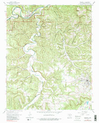
Historical Maps of Marshall Through Time
9 maps found