Old Maps of Marshall, Arkansas
Explore 21 old maps of Marshall, spanning from 1892 to today. These high-resolution historic maps reveal how streets, neighborhoods, landmarks, and natural features evolved over time — perfect for genealogy, metal detecting, research, and local history exploration.
What you can do with these maps:
- See how Marshall changed over time: Compare historical maps to modern-day views to trace roads, homesites, rail lines & more.
- View detailed metadata: Each map includes creators, publishers, year, scale, and archive source.
- Overlay maps with satellite & LiDAR: Visualize the past alongside modern tools to explore terrain & human change.
- Trusted historical sources: Maps sourced from the USGS, Library of Congress, and other archives.
- Access maps your way: View online, download high-res files, or order prints for personal or research use.
Start exploring old maps of Marshall to uncover forgotten places, hidden landmarks, and the deep history beneath your feet.
Marshall, AR maps
(21)- 1892 Map of Marshall
 1892 Marshall1892 Print · USGSThe Ozark highlands of Searcy and Van Buren Counties appear here in the early 1890s, characterized by isolated mountain settlements and complex river headwaters. Genealogists can trace early homesteads and family-named landmarks such as Wileys Cove, Hendersons Knob, and Witts Springs.
 - 1894 Map of Marshall
 1894 Marshall1894 Print · USGSThe Ozark plateau in the 1890s reveals a sparse network of mountain settlements and family landmarks. Genealogists can locate early community centers like Snow Ball and Witts Springs or trace ancestral lands near Point Peter and Hendersons Knob.
 - 1901 Map of Marshall
 1901 Marshall1901 Print · USGSThe Ozark plateau in the 1890s reveals a rugged network of high ridges and river forks where isolation defined early settlement. Genealogists can trace family roots through upland communities like Snowball, Witts Springs, and Wileys Cove before modern infrastructure reached the Boston Mountain range.4 unique versions available
 - 1956 Map of Russellville
 1956 Russellville1956 Print · USGSThe Arkansas River valley and the surrounding Boston Mountains are captured here in the mid-fifties, showing a landscape of small timber towns and new reservoirs. Genealogists can trace family roots through upland settlements like Pelsor and Witts Springs or locate the campus of Arkansas Polytechnic College.2 unique versions available
 - 1962 Map of Marshall, 1964 Print
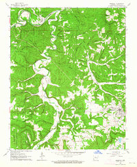 1962 Marshall1964 Print · USGSThe Ozark highlands of Searcy County are captured here in the early sixties, centered on the Buffalo River and the town of Marshall. Local researchers can trace family roots through numerous cemeteries like Parks Cem or explore the geography of Gilbert and Sulphur Springs.4 unique versions available
 - 1963 Map of Harriet, 1964 Print
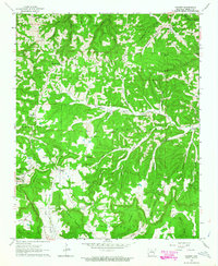 1963 Harriet1964 Print · USGSSearcy County at the start of the sixties reveals a deeply rural Ozark landscape of remote hollows and high ridges. Genealogists can trace family footprints through numerous upland burial sites and churches like Wilson Cem, Shiloh Ch, and Martin Box Chapel.2 unique versions available
 - 1964 Map of Russellville
 1964 Russellville1964 Print · USGSMid-century Central Arkansas is defined here by the river-valley towns and the surrounding mountain ranges before the full expansion of the interstate system. Genealogists and historians can trace rail-town development along the Missouri Pacific Railroad and locate landmarks like Arkansas Polytechnic College or Petit Jean State Park.
 - 1977 Map of Russellville
 1977 Russellville1977 Print · USGSThe Arkansas River Valley and surrounding Ozark Mountains are documented here during a period of significant postwar growth and infrastructure development. Genealogists and researchers can locate family landmarks such as Mount Carmel Cem, St Josephs Church, and several remote Coal Mine sites along the Missouri Pacific RR line.
 - 1983 Map of Mountain View
 1983 Mountain View1983 Print · USGSNorth-central Arkansas comes into sharp focus during the early eighties, showing the transition from traditional Ozark mountain settlements to a landscape shaped by major reservoirs. Genealogists and historians can trace family roots through mountain hamlets like Snowball, Witts Springs, and Timbo, or locate landmarks such as Zion Hill Church and the Missouri Pacific Railroad.
 - 1984 Map of Russellville
 1984 Russellville1984 Print · USGSThe Arkansas River valley was undergoing significant change in the 1950s as transportation and water management reshaped the region from Russellville to Conway. Researchers can trace the era's rail networks like the Missouri Pacific RR and explore landmarks like Magazine Mountain and Petit Jean State Park.
 - 1992 Map of Russellville, 1993 Print
 1992 Russellville1993 Print · USGSCentral Arkansas in the early nineties shows a landscape defined by the Arkansas River valley and the surrounding national forests. Trace the development of river towns like Russellville and Dardanelle alongside landmarks such as Lake Dardanelle and Magazine Mtn.
 - 2011 Map of Harriet, 2011 Print
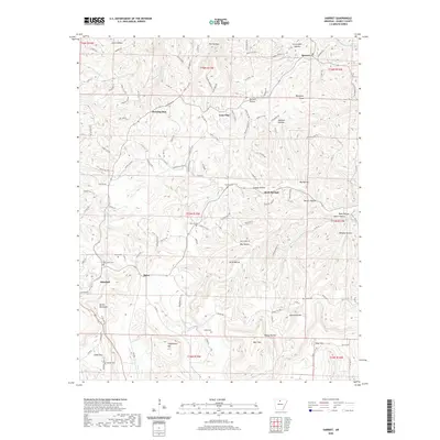
 2011 Harriet2011 Print · USGSCovers Marshall, including Martin Box, Rock Springs, and other nearby areas
 - 2011 Map of Marshall, 2011 Print
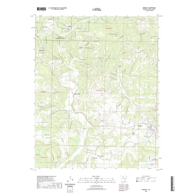
 2011 Marshall2011 Print · USGSCovers Marshall, including Gilbert, Zack, and other nearby areas
 - 2014 Map of Marshall, 2014 Print
 2014 Marshall2014 Print · USGSCovers Marshall, including Gilbert, Zack, and other nearby areas
 - 2014 Map of Harriet, 2014 Print
 2014 Harriet2014 Print · USGSCovers Marshall, including Martin Box, Rock Springs, and other nearby areas
 - 2017 Map of Harriet, 2017 Print
 2017 Harriet2017 Print · USGSCovers Marshall, including Martin Box, Rock Springs, and other nearby areas
 - 2017 Map of Marshall, 2017 Print
 2017 Marshall2017 Print · USGSCovers Marshall, including Gilbert, Zack, and other nearby areas
 - 2020 Map of Harriet, 2020 Print
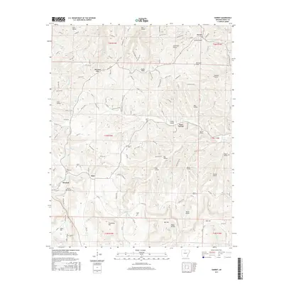
 2020 Harriet2020 Print · USGSCovers Marshall, including Martin Box, Rock Springs, and other nearby areas
 - 2020 Map of Marshall, 2020 Print
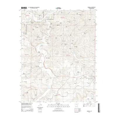
 2020 Marshall2020 Print · USGSCovers Marshall, including Gilbert, Zack, and other nearby areas
 - 2024 Map of Harriet, 2024 Print
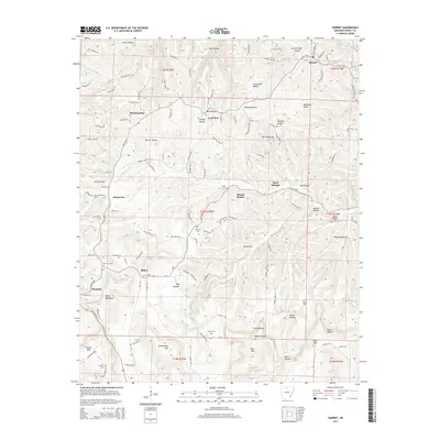
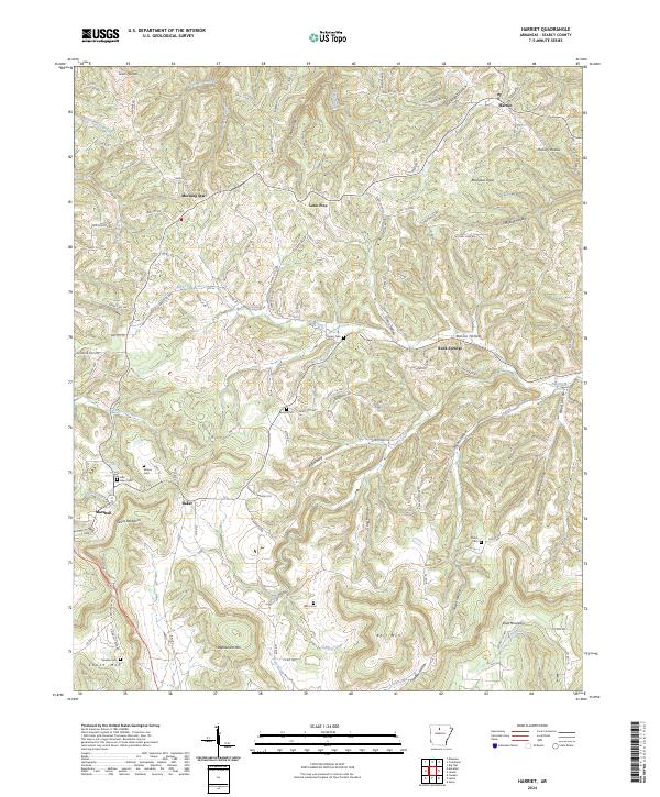 2024 Harriet2024 Print · USGSSearcy County as it appears in the 2020s shows a landscape of deep hollows and persistent rural settlements. Genealogists can trace family names through several hilltop burial grounds like Cypert Cem or locate the community of Morning Star.
 - 2024 Map of Marshall, 2024 Print
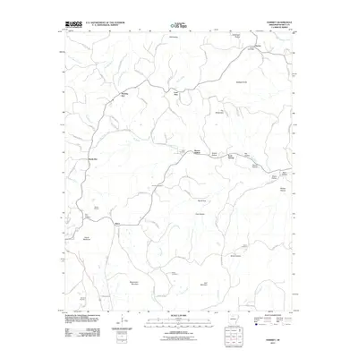
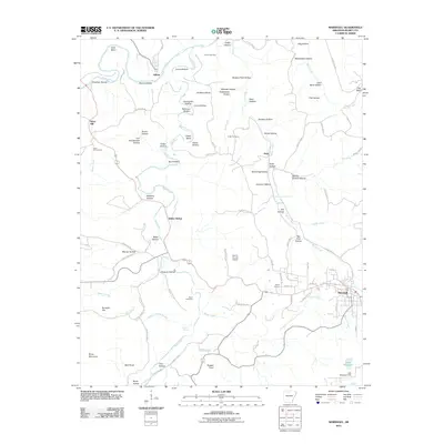
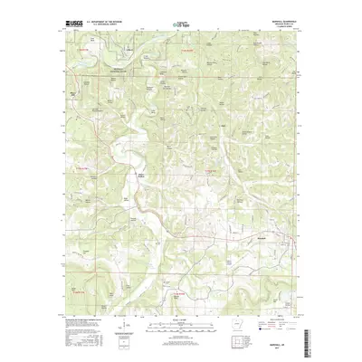
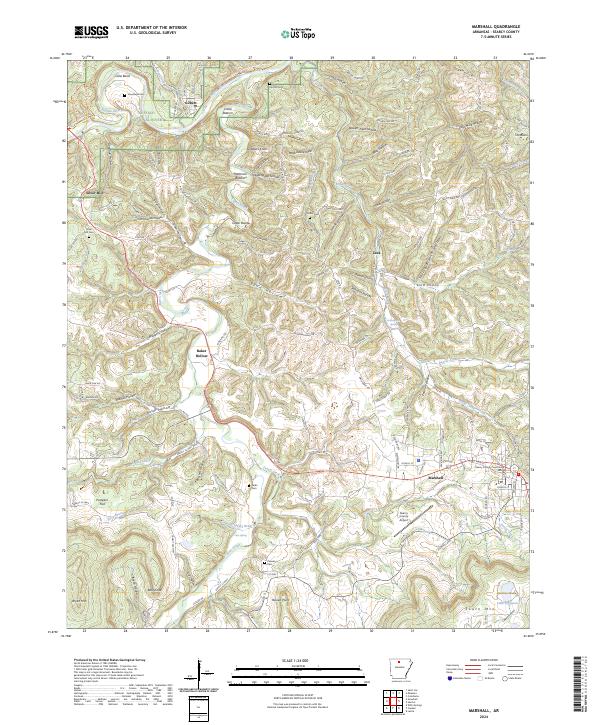 2024 Marshall2024 Print · USGSThe Buffalo River corridor and the seat of Marshall define this contemporary Ozark survey. Researchers can trace the Missouri and North Arkansas Railroad Grade Tr and find local landmarks like Gilbert, the Searcy County Courthouse, and Canaan Cem.
End of results
Showing maps 1-21 of 21
Top cities near Marshall
- Leslie historical maps
- Saint Joe historical maps
- Pindall historical maps
- Big Flat historical maps
- Gilbert historical maps
Frequently asked questions
- What are the different types of historical maps available for Marshall?
- What is the oldest map of Marshall?
- Where can I purchase historical maps of Marshall for my home or office?
- Where can I download high-res historical maps of Marshall?
- Are there historical topographic maps available for Marshall?
- Is there historical aerial imagery available for Marshall?
- Where are historical maps of Marshall sourced from?