
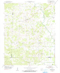
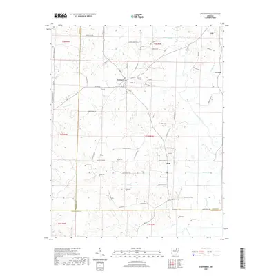
1932 Map of Strawberry
USGS Topo · Published 1932About this map
Strawberry and the surrounding river bottoms are documented in this 1931 topographical survey by the War Department Corps of Engineers. The landscape is defined by the complex hydrology of the Strawberry River and Black River, where old meander lines and sloughs like Bee Tree Slough intersect with agricultural drainage efforts shown as Curia Creek Ditch. This era shows a transition from natural riverine patterns to managed farmland, particularly along the entire escarpment contoured edge of the alluvial valley.
Find a feature on this map
41 named features on this map. Tap any name to fly to it.
Don’t see what you’re looking for? This feature index may not catch every label — zoom into the map to look around manually.
Map Details
Editions of this 1932 Strawberry Map
This is the sole edition of this map. No revisions or reprints were ever made.
Historical Maps of Sulphur Rock Through Time
9 maps found
1932 Strawberry
Lawrence County, AR

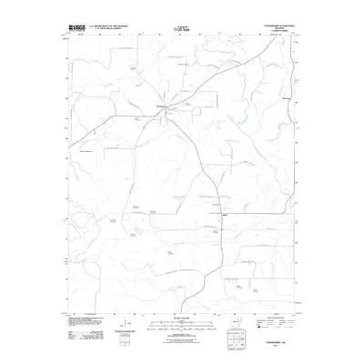
1935 Strawberry
Lawrence County, AR

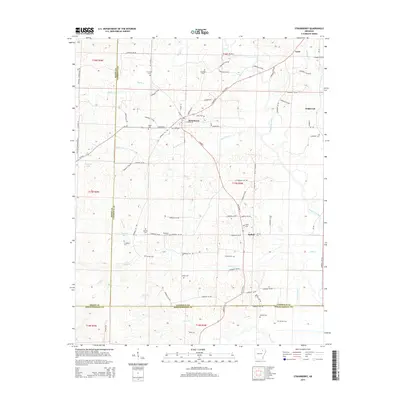
1941 Strawberry
Lawrence County, AR
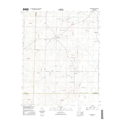
1955 Strawberry
Lawrence County, AR
2011 Strawberry
Lawrence County, AR
2014 Strawberry
Lawrence County, AR
2017 Strawberry
Lawrence County, AR
2020 Strawberry
Lawrence County, AR
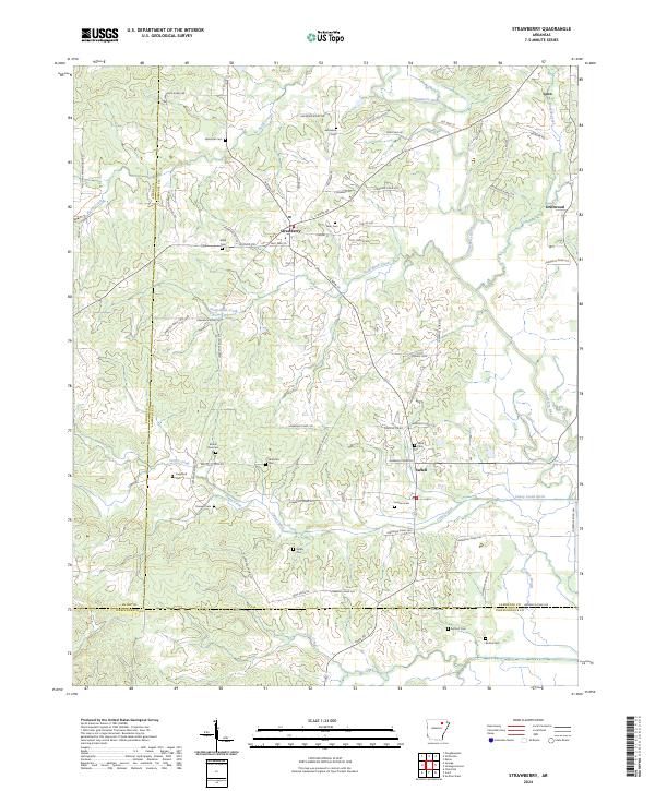
2024 Strawberry
Lawrence County, AR