1956 Map of Memphis
USGS Topo · Published 1956About this map
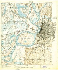
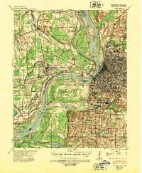
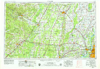
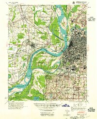
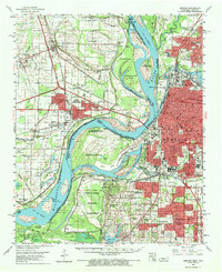
The Mississippi River serves as the dominant geographic anchor of this mid-century survey, dividing the flatlands of eastern Arkansas from the rising bluffs of Memphis and Shelby County. The landscape is defined by the complex hydrology of the Mississippi Delta, where the St Francis River and L'Anguille River meander through a grid of drainage ditches and bayous. In Arkansas, Crowleys Ridge provides a distinct rise above the surrounding alluvial plain, supporting settlements like Jonesboro and Harrisburg.
Find a feature on this map
236 named features on this map. Tap any name to fly to it.
Don’t see what you’re looking for? This feature index may not catch every label — zoom into the map to look around manually.
Map Details
Editions of this 1956 Memphis Map
This is the sole edition of this map. No revisions or reprints were ever made.
Historical Maps of Memphis Through Time
8 maps found