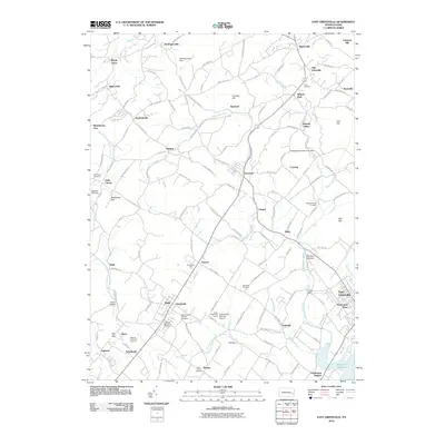
2010 Map of East Greenville
USGS Topo · Published 2010About this map
Perkiomen Creek and its many tributaries, including West Branch Perkiomen Creek, shape this landscape of the Lehigh and Upper Montgomery border. The area is characterized by scattered small settlements and rural crossroads such as Seisholtzville, Hereford, and Bally. Local heritage is visible through numerous religious and community landmarks, from Huffs Church and Saint Francis Catholic Cemetery to the National Centre for Padre Pio near Schultzville. The geography is defined by a series of prominent rises including Furnace Hill, Blackhead Hill, and Chestnut Hill, which overlook a network of valley roads and farms. Industrial and agricultural history is preserved in the naming of the Borneman Mill and Mensch Mill Dam. To the south, the Green Lane Reservoir and the Butter Valley Port Airport represent modern infrastructure within this traditional Pennsylvania setting.
Find a feature on this map
146 named features on this map. Tap any name to fly to it.
Don’t see what you’re looking for? This feature index may not catch every label — zoom into the map to look around manually.
Map Details
Editions of this 2010 East Greenville Map
This is the sole edition of this map. No revisions or reprints were ever made.
Other maps of this area

1888 · Quakertown
USGS Topo · 1:62,500

1890 · Quakertown
USGS Topo · 1:62,500

1894 · Allentown
USGS Topo · 1:62,500

1894 · Quakertown
USGS Topo · 1:62,500

1902 · Boyertown
USGS Topo · 1:62,500

1902 · Slatington
USGS Topo · 1:62,500

1937 · Allentown West
USGS Topo · 1:48,000

1939 · Allentown
USGS Topo · 1:62,500

1942 · Norristown
USGS Topo · 1:125,000

1942 · Allentown West
USGS Topo · 1:62,500