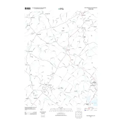
2013 Map of East Greenville
USGS Topo · Published 2013About this map
Perkiomen Creek and its many branches, including the West Branch Perkiomen Creek, weave through a landscape defined by small villages and agricultural heritage. This region reflects deep-rooted community identities in settlements like Hensingersville, Seisholtzville, and Old Zionsville. The map captures a transition where traditional farming at the Gehringer Family Farm and Shuhler Farms exists alongside unique religious and modern landmarks.
Find a feature on this map
273 named features on this map. Tap any name to fly to it.
Don’t see what you’re looking for? This feature index may not catch every label — zoom into the map to look around manually.
Map Details
Editions of this 2013 East Greenville Map
This is the sole edition of this map. No revisions or reprints were ever made.
Other maps of this area

1888 · Quakertown
USGS Topo · 1:62,500

1890 · Quakertown
USGS Topo · 1:62,500

1894 · Allentown
USGS Topo · 1:62,500

1894 · Quakertown
USGS Topo · 1:62,500

1902 · Boyertown
USGS Topo · 1:62,500

1902 · Slatington
USGS Topo · 1:62,500

1937 · Allentown West
USGS Topo · 1:48,000

1939 · Allentown
USGS Topo · 1:62,500

1942 · Norristown
USGS Topo · 1:125,000

1942 · Allentown West
USGS Topo · 1:62,500