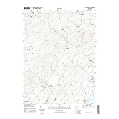
2016 Map of East Greenville
USGS Topo · Published 2016About this map
Perkiomen Creek and its various branches, including the W Br Perkiomen Cr, carve through this section of the Pennsylvania countryside where Berks, Lehigh, and Montgomery Counties meet. The landscape is dotted with small, historic hamlets such as Seisholtzville, Harlem, and Sigmund, many of which developed around early industry indicated by landmarks like Furnace Hill. This 2016 survey illustrates a mix of traditional agricultural land and modern recreational sites, including the Butter Valley Golf Port Airport and the Bally Community Swimming Pool. Genealogists will find a high density of burial sites reflecting the area's religious heritage, from the Washington Schwenkfelder Cem to the Salem Evangelical Cem. The southeastern corner transitions into more established residential hubs near East Greenville and Pennsburg, where the waters eventually flow toward the Green Lane Reservoir.
Find a feature on this map
226 named features on this map. Tap any name to fly to it.
Don’t see what you’re looking for? This feature index may not catch every label — zoom into the map to look around manually.
Map Details
Editions of this 2016 East Greenville Map
This is the sole edition of this map. No revisions or reprints were ever made.
Other maps of this area

1888 · Quakertown
USGS Topo · 1:62,500

1890 · Quakertown
USGS Topo · 1:62,500

1894 · Allentown
USGS Topo · 1:62,500

1894 · Quakertown
USGS Topo · 1:62,500

1902 · Boyertown
USGS Topo · 1:62,500

1902 · Slatington
USGS Topo · 1:62,500

1937 · Allentown West
USGS Topo · 1:48,000

1939 · Allentown
USGS Topo · 1:62,500

1942 · Norristown
USGS Topo · 1:125,000

1942 · Allentown West
USGS Topo · 1:62,500