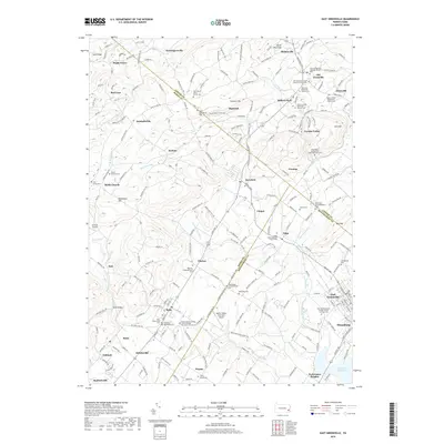
2019 Map of East Greenville
USGS Topo · Published 2019About this map
East Greenville and Bally anchor the southern portion of this landscape, where the borders of Lehigh, Berks, and Montgomery Counties meet. This territory is exceptionally dense with ecclesiastical history, evidenced by a high concentration of denominational cemeteries and churches such as the Washington Schwenkfelder Cem and Upper Milford Mennonite Church Cem. These sites, alongside many others like the Saint Peters Union Church Cem, trace the deep ancestral roots of German sectarian groups who settled the valley.
Find a feature on this map
91 named features on this map. Tap any name to fly to it.
Don’t see what you’re looking for? This feature index may not catch every label — zoom into the map to look around manually.
Map Details
Editions of this 2019 East Greenville Map
This is the sole edition of this map. No revisions or reprints were ever made.
Other maps of this area

1888 · Quakertown
USGS Topo · 1:62,500

1890 · Quakertown
USGS Topo · 1:62,500

1894 · Allentown
USGS Topo · 1:62,500

1894 · Quakertown
USGS Topo · 1:62,500

1902 · Boyertown
USGS Topo · 1:62,500

1902 · Slatington
USGS Topo · 1:62,500

1937 · Allentown West
USGS Topo · 1:48,000

1939 · Allentown
USGS Topo · 1:62,500

1942 · Norristown
USGS Topo · 1:125,000

1942 · Allentown West
USGS Topo · 1:62,500