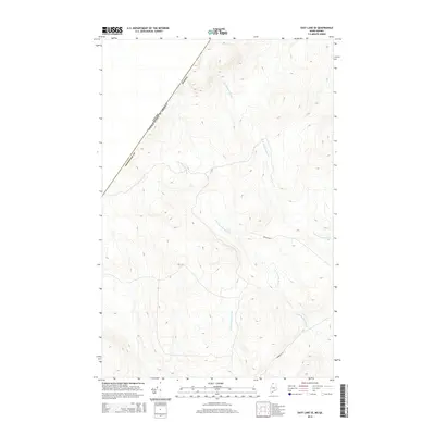
2014 Map of East Lake SE
USGS Topo · Published 2014About this map
The international border between the United States of America and Canada cuts diagonally across this remote section of Aroostook Co, Maine. This 2014 survey captures a landscape dominated by the complex drainage of the North and South Branches of Twomile Brook, which weave through the forested upland terrain alongside the Br of Fivemile Brook. Human presence in this timber-rich boundary region is primarily represented by a sparse network of logging and access routes, including Branch Rd and Robinson Rd. The map illustrates the quiet isolation of the northern Maine woods where topography and watershed patterns dictate the layout of the few roads that penetrate the deep backcountry of the Maine-Quebec borderlands.
Find a feature on this map
8 named features on this map. Tap any name to fly to it.
Don’t see what you’re looking for? This feature index may not catch every label — zoom into the map to look around manually.
Map Details
Editions of this 2014 East Lake SE Map
This is the sole edition of this map. No revisions or reprints were ever made.
Other maps of this area

1954 · Presque Isle
USGS Topo · 1:250,000

1955 · Rocky Mountain
USGS Topo · 1:62,500

1955 · Little East Lake
USGS Topo · 1:62,500

1955 · Round Pond
USGS Topo · 1:62,500

1955 · Seven Islands
USGS Topo · 1:62,500

1958 · Presque Isle
USGS Topo · 1:250,000

1960 · Presque Isle
USGS Topo · 1:250,000

1962 · Edmundston
USGS Topo · 1:250,000

1976 · East Lake
USGS Topo · 1:24,000

1976 · East Lake SE
USGS Topo · 1:24,000