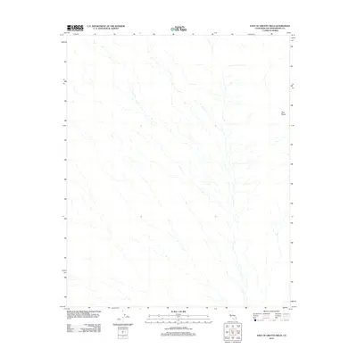
2012 Map of East of Grotto Hills
USGS Topo · Published 2012About this map
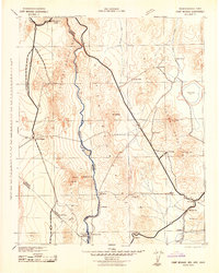
The Piute Range defines the eastern edge of this high-desert landscape in San Bernardino County. This 2012 survey illustrates the intricate drainage patterns that carve through the arid terrain, showing a network of ephemeral washes that descend from the slopes of the range towards the valley floor. The map is primarily a study of topography and hydrology, where the absence of developed roads or settlements highlights the isolation of this corner of the California desert. Researchers can observe how the natural contours of the land dictate the flow of water during rare precipitation events, leaving a distinct signature of alluvial activity across the quadrangle.
Find a feature on this map
1 named feature on this map. Tap any name to fly to it.
Don’t see what you’re looking for? This feature index may not catch every label — zoom into the map to look around manually.
Map Details
Editions of this 2012 East of Grotto Hills Map
This is the sole edition of this map. No revisions or reprints were ever made.
Other maps of this area
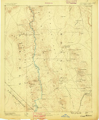
1886 · Camp Mohave
USGS Topo · 1:250,000
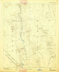
1892 · Camp Mohave
USGS Topo · 1:250,000

1910 · Ivanpah
USGS Topo · 1:250,000

1912 · Ivanpah
USGS Topo · 1:250,000
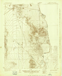
1926 · Mohave City
USGS Topo · 1:96,000
1942 · Camp Mohave
USGS Topo · 1:250,000

1942 · Ivanpah
USGS Topo · 1:250,000

1947 · Kingman
USGS Topo · 1:250,000

1948 · Kingman
USGS Topo · 1:250,000

1954 · Kingman
USGS Topo · 1:250,000