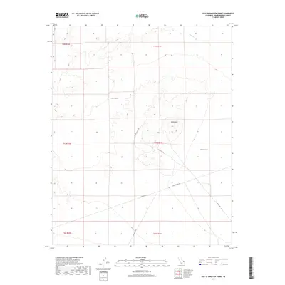
2018 Map of East of Kingston Spring
USGS Topo · Published 2018About this map
The arid expanses of the Mojave Desert dominate this 2018 survey, focusing on the high-elevation basin where Shadow Mtn rises above the surrounding flats. This landscape is a corridor for essential infrastructure and desert travel, marked by the long diagonal of Powerline Rd and the unpaved routes of Shadow Mountain Rd and Francis Springs Rd. These tracks provide the primary access to the northern reaches of Shadow Valley, a region defined by its isolation and topographical shifts. To the north, the ephemeral drainage of Kingston Wash carves through the terrain, indicating the occasional but powerful flow of water through this environment. The map records a modern state of the land, showing the intersection of historical cattle-ranching territory and contemporary utility management in San Bernardino County.
Find a feature on this map
15 named features on this map. Tap any name to fly to it.
Don’t see what you’re looking for? This feature index may not catch every label — zoom into the map to look around manually.
Map Details
Editions of this 2018 East of Kingston Spring Map
This is the sole edition of this map. No revisions or reprints were ever made.
Other maps of this area

1910 · Ivanpah
USGS Topo · 1:250,000

1912 · Ivanpah
USGS Topo · 1:250,000

1942 · Ivanpah
USGS Topo · 1:250,000

1947 · Kingman
USGS Topo · 1:250,000

1948 · Kingman
USGS Topo · 1:250,000

1954 · Kingman
USGS Topo · 1:250,000

1955 · Kingman
USGS Topo · 1:250,000
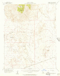
1955 · Kingston Peak
USGS Topo · 1:62,500
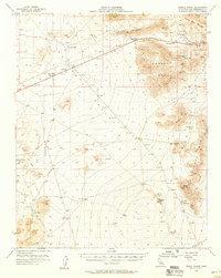
1955 · Mescal Range
USGS Topo · 1:62,500
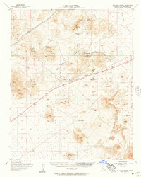
1956 · Halloran Spring
USGS Topo · 1:62,500