Loading...
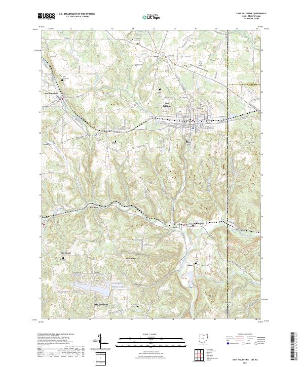
Loading map...2023 Map of East Palestine
USGS Topo · Published 2023About this map
East Palestine serves as the primary hub in this eastern Ohio landscape, where the confluence of Leslie Run, Sulphur Run, and Bull Creek shaped the early development of the region. The map captures a high density of rural burial grounds and local landmarks, including the Unity Brick Church Cem and Saint Marys Cem, reflecting the deep-rooted family history of Columbiana County.
Find a feature on this map
142 named features on this map. Tap any name to fly to it.
Don’t see what you’re looking for? This feature index may not catch every label — zoom into the map to look around manually.
Map Details
Date Portrayed2023
Date Published2023
PublisherU.S. Geological Survey
Map TypeTopographic
Scale1:24000
Physical Dimensions24 x 29 inches
Editions of this 2023 East Palestine Map
This is the sole edition of this map. No revisions or reprints were ever made.
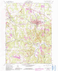
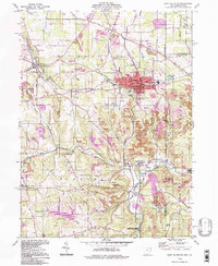
Historical Maps of Pancake Through Time
3 maps found
Featured Locations
Source Details
SourceU.S. Geological Survey
CopyrightPublic Domain