
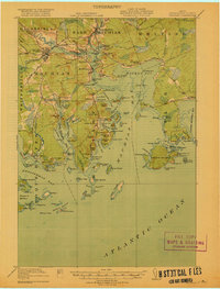
1907 Map of Eastport
USGS Topo · Published 1907About this map
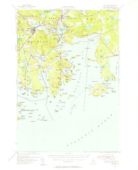
Cobscook Bay and the complex tidal waters of Johnson Bay dominate this coastal survey of Washington County, where the maritime economy of the early twentieth century is clearly visible. The map documents a rugged shoreline of peninsulas and islands, including Campobello Island and Deer Island, connected by vital maritime links like the Steamboat Route and a Toll Bridge near Eastman Hill. The international border with Canada is marked across the Grand Manan Channel, separating Lubec from Welchpool.
Find a feature on this map
104 named features on this map. Tap any name to fly to it.
Don’t see what you’re looking for? This feature index may not catch every label — zoom into the map to look around manually.
Map Details
Editions of this 1907 Eastport Map
This is the sole edition of this map. No revisions or reprints were ever made.
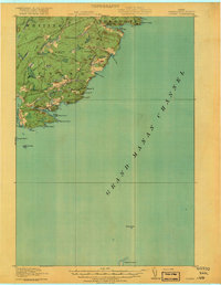
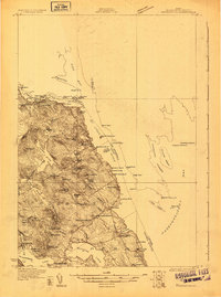
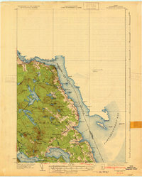
Other maps of this area

1908 · Eastport
USGS Topo · 1:62,500

1917 · Cutler
USGS Topo · 1:62,500
1918 · Machias
USGS Topo · 1:62,500
1918 · Cutler
USGS Topo · 1:62,500

1929 · Calais
USGS Topo · 1:48,000
1929 · Robbinston
USGS Topo · 1:48,000
1931 · Robbinston
USGS Topo · 1:62,500

1932 · Calais
USGS Topo · 1:62,500
1941 · Machias
USGS Topo · 1:62,500

1941 · Gardner Lake
USGS Topo · 1:62,500