
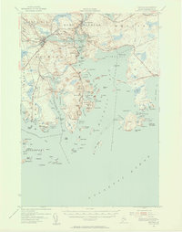
1941 Map of Machias
USGS Topo · Published 1956About this map
The Machias River and East Machias River converge toward the jagged coastline of Washington County in this early 1940s landscape. The economic heart of the region is centered on the Maine Central railroad corridor, which connects the town of Machias with smaller hubs like Machiasport and the Machiasport Sta. The mapping reveals a complex maritime environment where the Atlantic Ocean pushes into Machias Bay and Little Kennebec Bay, creating a network of sheltered coves such as Moose Snare Cove and Starboard Cove. Coastal settlements including Cutler, Bucks Harbor, and Roque Bluffs are shown at a time when local transport relied on state roads like Maine 191 and the rail network. Inland, the terrain is characterized by features like Pumpkin Ridge and the Runaway Pond Heath, while Cross Island stands as a prominent sentinel at the bay's mouth.
Find a feature on this map
146 named features on this map. Tap any name to fly to it.
Don’t see what you’re looking for? This feature index may not catch every label — zoom into the map to look around manually.
Map Details
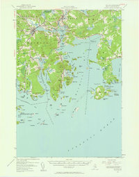
Editions of this 1941 Machias Map
Other maps of this area

1907 · Eastport
USGS Topo · 1:48,000

1908 · Eastport
USGS Topo · 1:62,500

1917 · Cutler
USGS Topo · 1:62,500

1918 · Machias
USGS Topo · 1:62,500

1918 · Cutler
USGS Topo · 1:62,500

1921 · Great Wass Island
USGS Topo · 1:62,500

1921 · Columbia Falls
USGS Topo · 1:62,500

1941 · Columbia Falls
USGS Topo · 1:62,500

1941 · Wesley
USGS Topo · 1:62,500

1941 · Gardner Lake
USGS Topo · 1:62,500