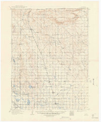
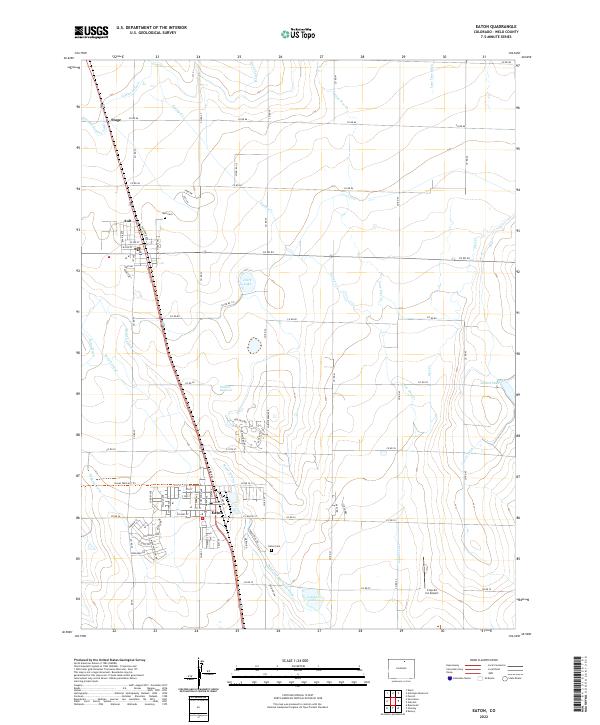
1908 Map of Eaton
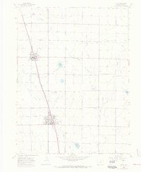
USGS Topo · Published 1957About this map
The high plains of Weld County and Larimer County at the turn of the century show an landscape rapidly adapting to industrial irrigation and rail transit. The Union Pacific RR cuts a north-south line through the center of the sheet, anchoring the development of early agricultural hubs like Nunn, Pierce, and Ault. To the west, the Great Western RR connects Severance and Timnath through a dense network of water management features, including the New Windsor Reservoir and Timnath Reservoir. This early 1900s survey captures the region's transition into a highly engineered sugar beet and ranching corridor. Evidence of early settlement is found in the numerous country schools such as Albert School, Collins School, and Rattlesnake Springs School, as well as the remote Indian Springs Coal Mine tucked against the western foothills. The northern terrain is defined by the prominent Simpson Mesa and Chalk Bluffs near the Wyoming state line.
Find a feature on this map
56 named features on this map. Tap any name to fly to it.
Don’t see what you’re looking for? This feature index may not catch every label — zoom into the map to look around manually.
Map Details
Editions of this 1908 Eaton Map
This is the sole edition of this map. No revisions or reprints were ever made.
Historical Maps of Fort Collins Through Time
9 maps found