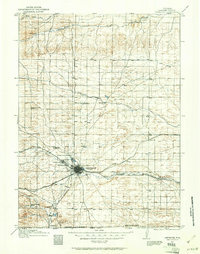
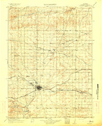
1911 Map of Cheyenne
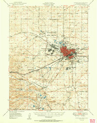
USGS Topo · Published 1961About this map
Cheyenne sits at the heart of a vital railroad hub in the early twentieth century, where the Union Pacific RR, Colorado and Southern RR, and Chicago Burlington and Quincy RR converge. This 1911 survey illustrates the city’s strategic importance, dominated to the northwest by the Fort D.A. Russell Military Reservation. The surrounding Laramie County landscape is defined by its drainage systems, including Lodgepole Creek, Crow Creek, and Horse Creek, which support a network of established ranching operations like the 7 XL Ranch and Pole Creek Ranch.
Find a feature on this map
31 named features on this map. Tap any name to fly to it.
Don’t see what you’re looking for? This feature index may not catch every label — zoom into the map to look around manually.
Map Details
Editions of this 1911 Cheyenne Map
This is the sole edition of this map. No revisions or reprints were ever made.
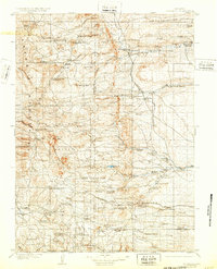
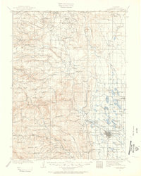
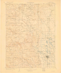
Other maps of this area

1899 · Goshen Hole
USGS Topo · 1:125,000
1905 · Sherman
USGS Topo · 1:125,000
1907 · Livermore
USGS Topo · 1:125,000

1908 · Eaton
USGS Topo · 1:125,000
1909 · Livermore
USGS Topo · 1:125,000

1910 · Eaton
USGS Topo · 1:125,000
1914 · Cheyenne
USGS Topo · 1:125,000
1950 · Cheyenne
USGS Topo · 1:62,500

1954 · Cheyenne
USGS Topo · 1:250,000

1954 · Greeley
USGS Topo · 1:250,000