
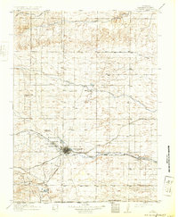
1914 Map of Cheyenne
USGS Topo · Published 1914About this map
Cheyenne serves as a major western transportation hub in this early 20th-century survey, defined by the convergence of the Union Pacific, Colorado and Southern RR, and Chicago Burlington and Quincy RR. The map illustrates the town's growth as a railway center, situated just southeast of the expansive Fort D.A. Russell Military Reservation. To the north and east, the landscape is dotted with isolated settlements and livestock operations, such as Pole Creek Ranch and the J H D Ranch, reflecting the region's ranching economy.
Find a feature on this map
34 named features on this map. Tap any name to fly to it.
Don’t see what you’re looking for? This feature index may not catch every label — zoom into the map to look around manually.
Map Details
Editions of this 1914 Cheyenne Map
3 editions found
Other maps of this area

1899 · Goshen Hole
USGS Topo · 1:125,000

1905 · Sherman
USGS Topo · 1:125,000

1907 · Livermore
USGS Topo · 1:125,000

1908 · Eaton
USGS Topo · 1:125,000

1909 · Livermore
USGS Topo · 1:125,000

1910 · Eaton
USGS Topo · 1:125,000

1911 · Cheyenne
USGS Topo · 1:125,000

1950 · Cheyenne
USGS Topo · 1:62,500

1954 · Cheyenne
USGS Topo · 1:250,000

1954 · Greeley
USGS Topo · 1:250,000