1950 Map of Cheyenne
USGS Topo · Published 1950About this map
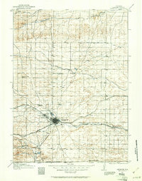
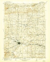
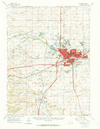
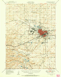
Cheyenne dominates the high plains landscape at mid-century, shown here as a critical transportation hub where the Union Pacific and Colorado and Southern railroads converge. The urban center is flanked by significant federal and local institutions, including the expansive Fort Francis E Warren Military Reservation and the U S Veterans Administration Hospital. Outside the city core, residential developments like Careyville Acres and specialized facilities such as the County Old Mens Home reflect the community's mid-century growth and social structure.
Find a feature on this map
68 named features on this map. Tap any name to fly to it.
Don’t see what you’re looking for? This feature index may not catch every label — zoom into the map to look around manually.
Map Details
Editions of this 1950 Cheyenne Map
This is the sole edition of this map. No revisions or reprints were ever made.
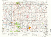
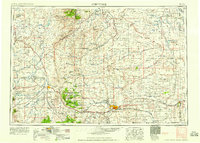
Historical Maps of Cheyenne Through Time
7 maps found