Loading...
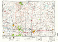
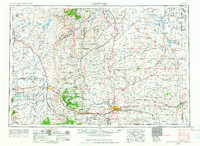
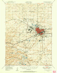
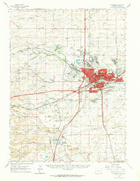
Loading map...1954 Map of Cheyenne
USGS Topo · Published 1973About this map
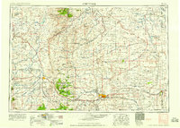
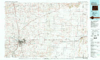
The State Capitol stands at the center of this mid-century landscape where the high plains meet the eastern foothills of the Rocky Mountains. The Union Pacific railroad corridor serves as the primary artery for the region, connecting established mountain settlements like Laramie and Rock River to the growing hub of Cheyenne. To the west, the rugged elevations of the Medicine Bow National Forest and the Laramie River valley are peppered with family ranches and essential water resources like Wheatland Reservoir No 2.
Find a feature on this map
142 named features on this map. Tap any name to fly to it.
Don’t see what you’re looking for? This feature index may not catch every label — zoom into the map to look around manually.
Map Details
Date Portrayed1954
Date Published1973
PublisherU.S. Geological Survey
Map TypeTopographic
Scale1:250,000
Physical Dimensions30 x 21.8 inches
Editions of this 1954 Cheyenne Map
3 editions found

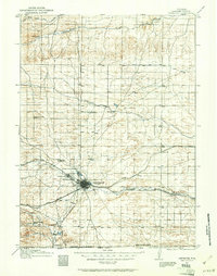
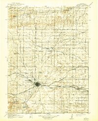
Historical Maps of Cheyenne Through Time
7 maps found
Featured Locations
Source Details
SourceU.S. Geological Survey
CopyrightPublic Domain